After forming east of the central Philippines, Tropical Storm Nepartak cut across the central islands of the Philippines on November 14, 2003, where it inflicted minimal damage, but took the lives of four people. After emerging into the South China Sea, Nepartak strengthened into a minimal typhoon with maximum sustained winds estimated at 85 miles per hour by the Joint Typhoon Warning Center. The storm then moved towards the northwest across the central part of the South China Sea towards the west coast of Hainan and the Gulf of Tonkin.
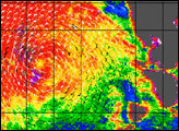
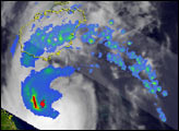
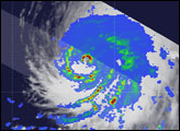
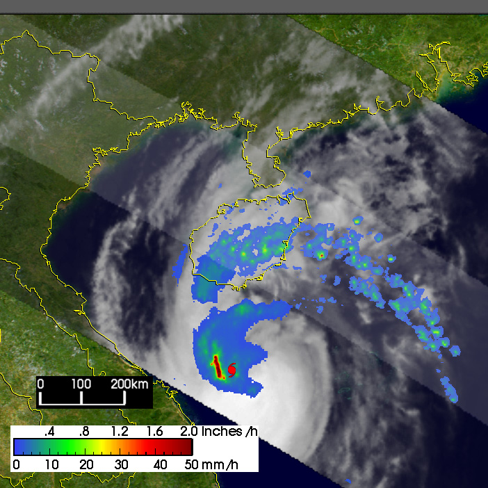
The Tropical Rainfall Measuring Mission (TRMM) satellite snapped this image of Nepartak while it was still off the central east coast of Vietnam. The image was taken at 8:31 UTC on 17 November. At that time, Nepartak was still classified as a minimal typhoon with winds of 75 mph. The image shows Nepartak from above with rainfall rates from the TRMM Precipitation Radar (PR) in the inner swath and the TRMM Microwave Imager (TMI) in the outer swath overlaid on infrared data from the TRMM Visible Infrared Scanner (VIRS) in white. Nepartak’s center (shown by the typhoon symbol) was not seen by the precipitation radar, but only by the microwave imager.
While there does not appear to be any heavy rainfall directly in the eyewall, there are some areas of moderate rain intensity (green areas) and an area of heavy rain (dark red area) just west of the center associated with a rainband. The heat that is being released by these features is helping to maintain the storm though it does not appear to be enough for Nepartak to significantly intensify.
TRMM is a joint mission between NASA and the Japanese space agency NASDA.
Image produced by Hal Pierce (SSAI/NASA GSFC) and caption by Steve Lang (SSAI/NASA GSFC)