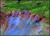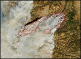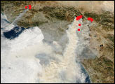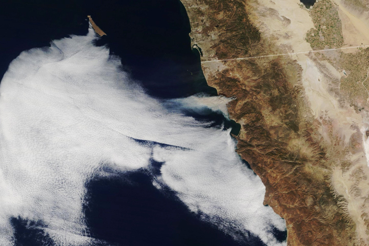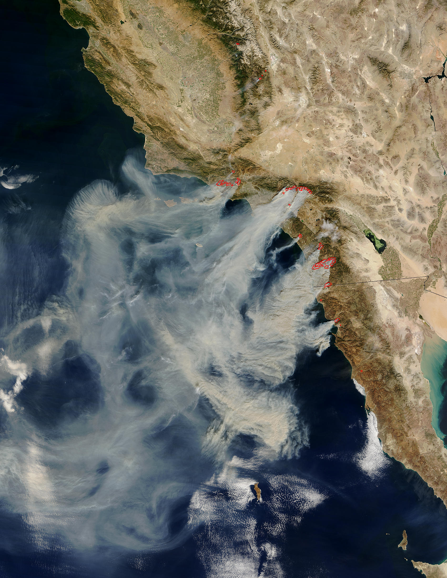
Several massive wildfires were raging across southern California over the weekend of October 25, 2003. Whipped by the hot, dry Santa Ana winds that blow toward the coast from interior deserts, at least one fire grew 10,000 acres in just 6 hours. (Compare this scene with one captured by Aqua MODIS just one day before.) The Moderate Resolution Imaging Spectroradiometer (MODIS) on the Terra satellite captured this image of the fires and clouds of smoke spread over the region on October 26, 2003.
Moving northwest to southeast along the coast, the first cluster of red dots is a combination of the Piru, Verdale, and Simi Incident Fires; the next cluster—to the east of Los Angeles—is the Grand Prix (west) and Old (east) Fires; to their south is the Roblar 2 Fire; next is the Paradise Fire; then the massive Cedar Fire, whose thick smoke is completely overshadowing the coastal city of San Diego; finally, at the California-Mexico border is the Otay Fire. At least 13 people have lost their lives because of these fires, many of which appear to have been caused by carelessness and arson. Thousands have been evacuated across the region and hundreds of homes have been lost.
The high-resolution image provided above is 500 meters per pixel. The MODIS Rapid Response System provides this image at MODIS’ maximum spatial resolution of 250 meters.
Image courtesy Jacques Descloitres, MODIS Rapid Response Team at NASA GSFC