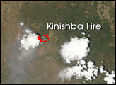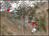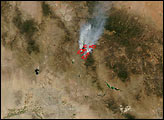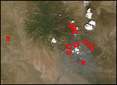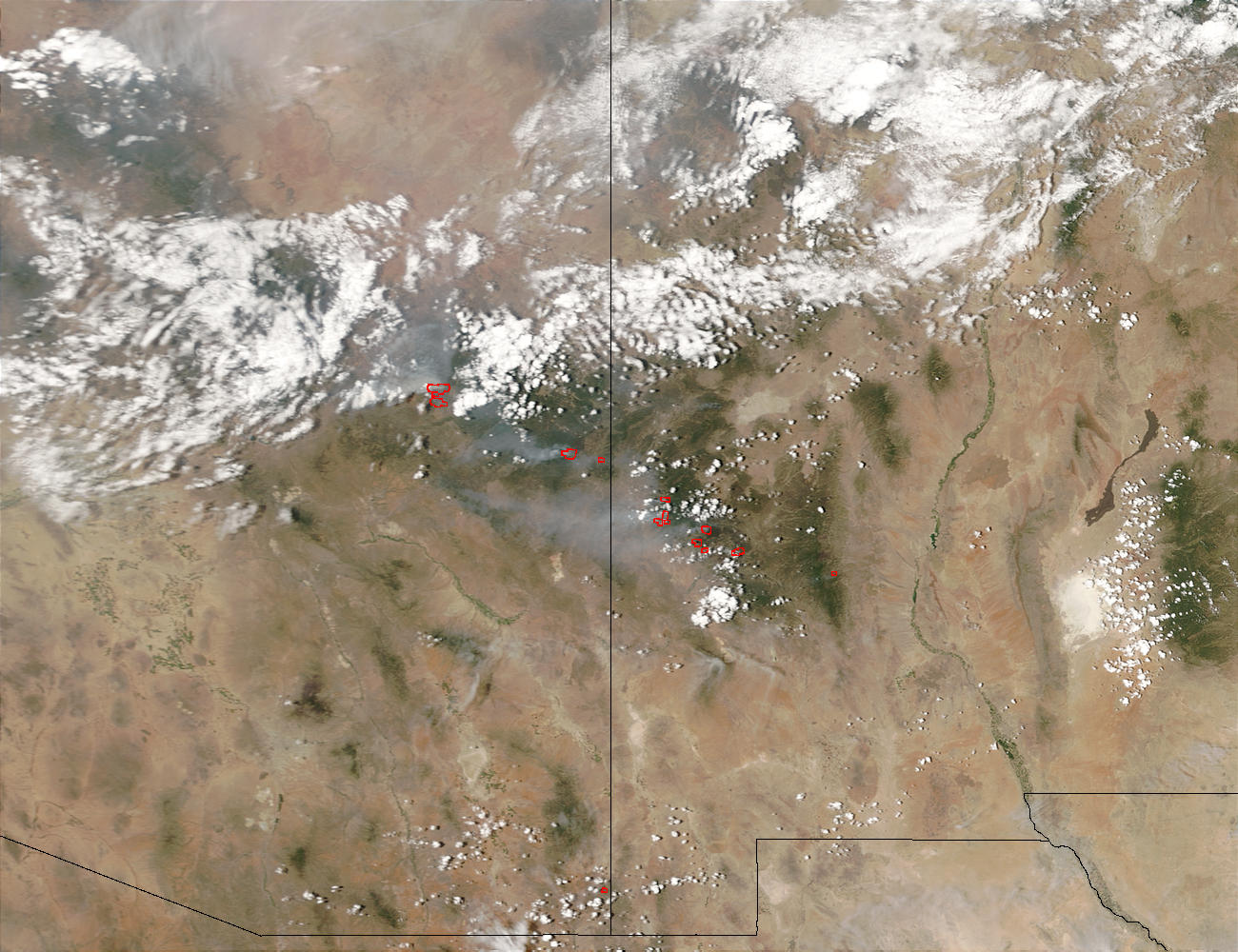
Thunderstorms have brought little but lightning and gusty winds to fires burning in Arizona and New Mexico. On July 13, 2003, lightning ignited a fire on the Fort Apache Reservation in eastern Arizona about two miles west of the small town of Whiteriver. The Kinishba Fire quickly exploded to several thousand acres, forcing about 5,000 people to evacuate their homes. In three days, the fire had grown to 17, 700 acres and was only 15 percent contained. This Moderate Resolution Imaging Spectroradiometer (MODIS) image from the Terra satellite on July 16 shows the actively burning area of the Kinishba Fire (westernmost cluster of red dots) and several others burning in Arizona (left) and New Mexico (right).
The high-resolution image provided above is 500 meters per pixel. The MODIS Rapid Response System provides this image at MODIS’ maximum spatial resolution of 250 meters.
Image courtesy Jacques Descloitres, MODIS Rapid Response Team at NASA GSFC