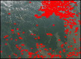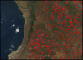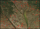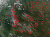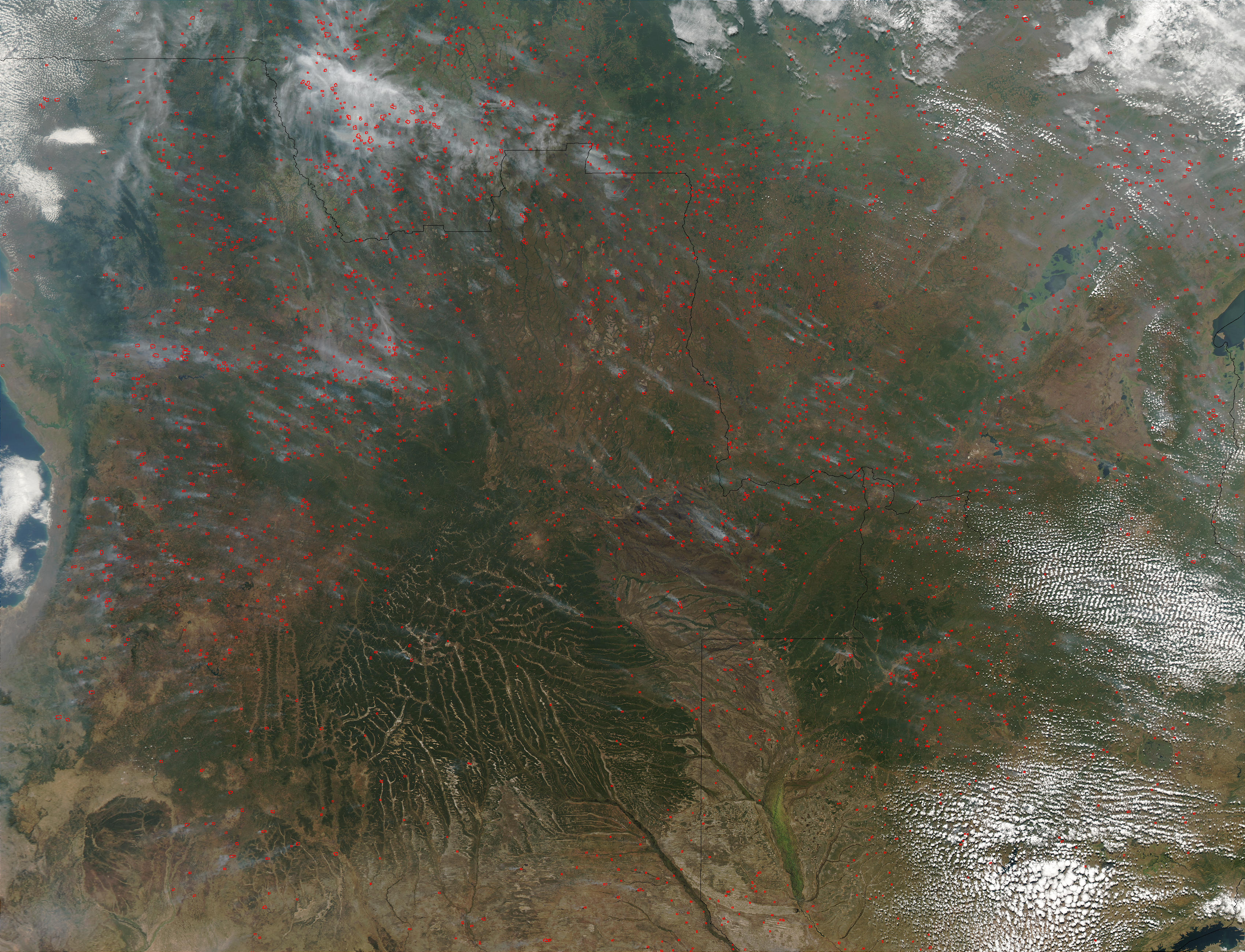
Thousands of fires are burning across central and southern Africa in mid-June 2003, and have been detected by the Moderate Resolution Imaging Spectroradiometer (MODIS) on the Aqua satellite. Active fire locations have been marked with red dots in this smoky image from June 16, 2003. The image spans Democratic Republic of Congo (top), and parts of Angola (left) and Zambia (bottom right). There is an especially smoky concentration of fires left of center at the top of the image, which is the southern Bandundu region of Democratic Republic of Congo. At bottom, the dark green area crisscrossed by dozens of tan lines is the deeply carved Angola Plateau, which drops off to the Liuwa Plain in Zambia, through which runs the Zambezi River.
The high-resolution image provided above is 500 meters per pixel. The MODIS Rapid Response System provides this image at MODIS’ maximum spatial resolution of 250 meters.
Image courtesy Jacques Descloitres, MODIS Rapid Response Team at NASA GSFC