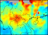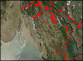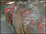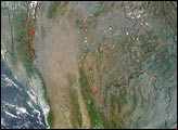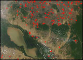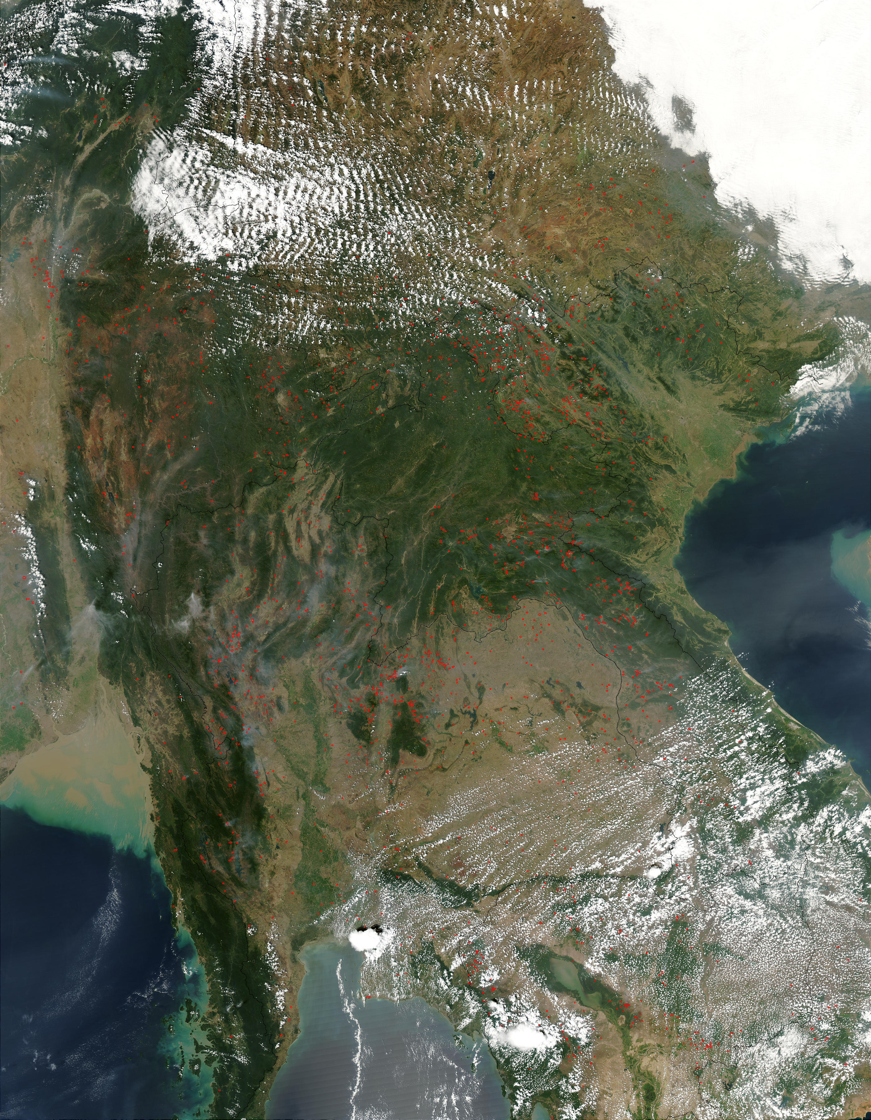
On Tuesday afternoon, March 4, 2003, NASA’s Moderate Resolution Imaging Spectroradiometer (MODIS) on the Aqua satellite detected hundreds of fires burning across Southeast Asia. This close to the equator, spring-like weather is firmly underway, and fires are being set to clear land for planting and stimulate new growth of pasture grasses. This biomass burning peaks in late winter or early (true) spring, but not before it significantly impacts air quality for hundreds, even thousands of miles around. This image shows (clockwise from top right) China, Vietnam, Cambodia, Laos (east) and Thailand (west), and Myanmar. Notice the widespread deforestation, especially in eastern Thailand and Cambodia.
The high-resolution image provided above is 500 meters per pixel. The MODIS Rapid Response System provides this image at MODIS? maximum spatial resolution of 250 meters.
Image courtesy Jeff Schmaltz, MODIS Rapid Response Team, NASA GSFC