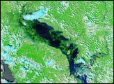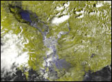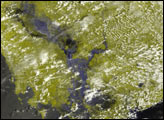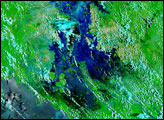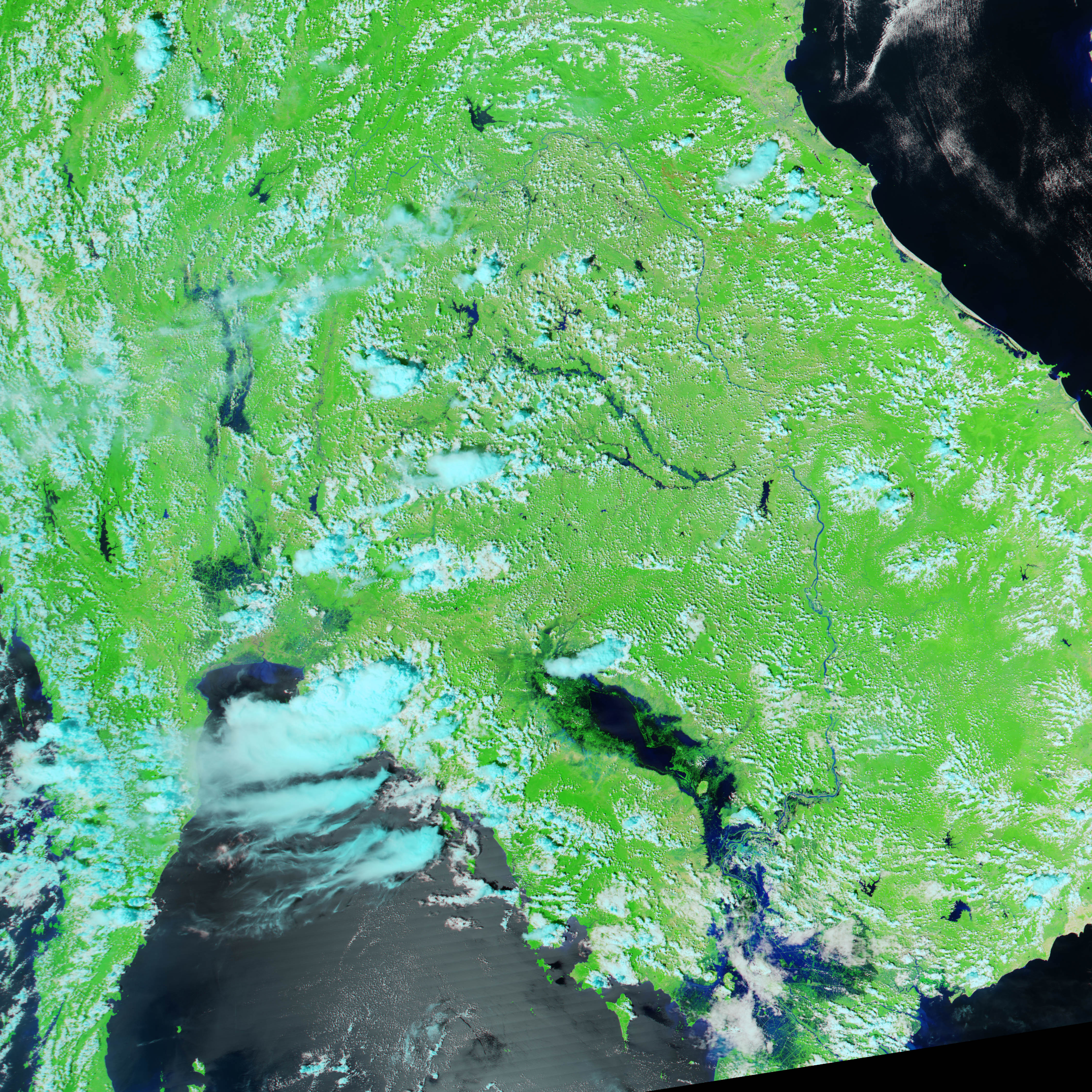
Since August, heavy, seasonal rains have inundated the Indochina Peninsula, giving rise to deadly floods that are only now receding. This false-color image of the Mekong Delta and the Tonle Sap in Vietnam and Cambodia was acquired on October 20, 2002, by the Moderate Resolution Imaging Spectroradiometer (MODIS) aboard the Aqua spacecraft.
The Tonle Sap is the oblong, inland body of water in the center of the image, and the Mekong Delta is at the bottom of the image. Farms and mudflats can be seen emerging from the areas bordering the lake and the delta as the floodwaters wane. A month ago, Cambodia and Thailand were experiencing some of the worst seasonal flooding in years. Over 150 people died in Vietnam alone since July, and thousands of acres of cropland have been lost.
In this image, clouds are light blue and white, water is blue and black, and solid land is bright green.
Image by Jesse Allen, based on data from the MODIS Rapid Response Team at NASA-GSFC