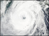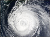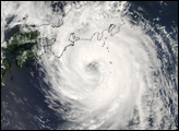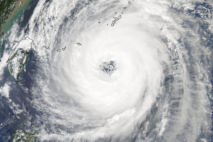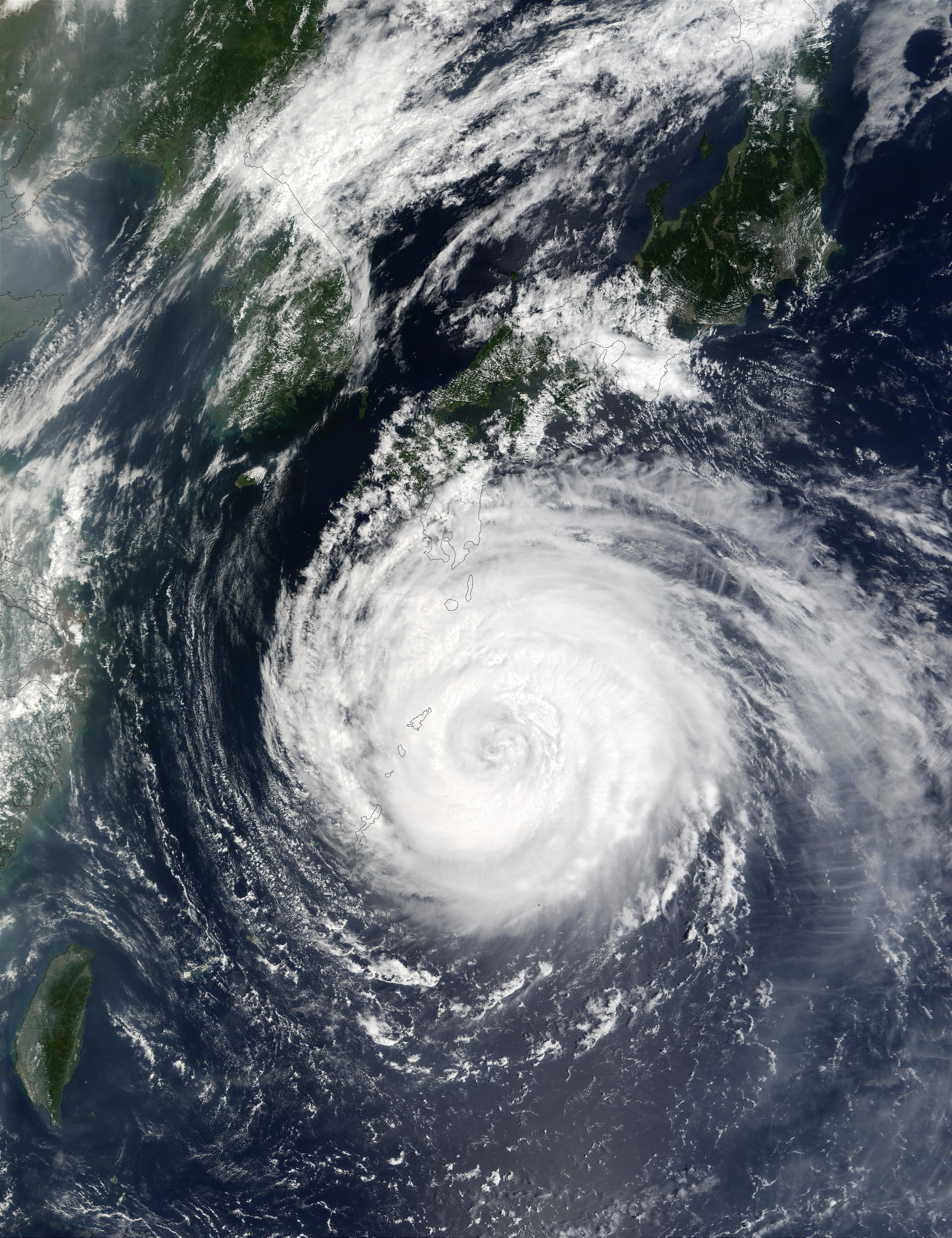
Typhoon Rusa can be seen striking the small islands of southernmost Japan in this true color image taken on August 29, 2002, by the Moderate Resolution Imaging Spectroradiometer (MODIS), flying aboard NASA’s Terra spacecraft. At the time this image was recorded, Rusa packed sustained winds of 86 miles (140 kilometers) per hour and was located roughly 1,000 miles (1600 kilometers) south of Tokyo. The storm had flattened several homes and caused power outages for thousands. The storm is expected to drop to tropical storm status and head into Korea over the next 48 hours after unloading up to 20 inches (50 centimeters) of rain on parts of the main islands of Japan.
Image courtesy Jacques Descloitres, MODIS Land Rapid Response Team at NASA GSFC.