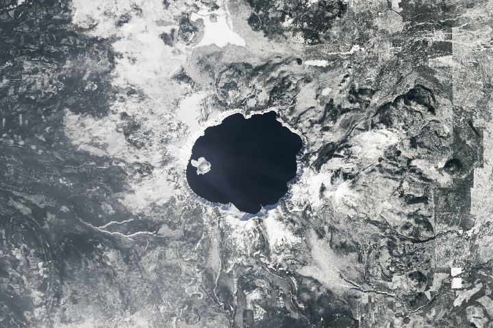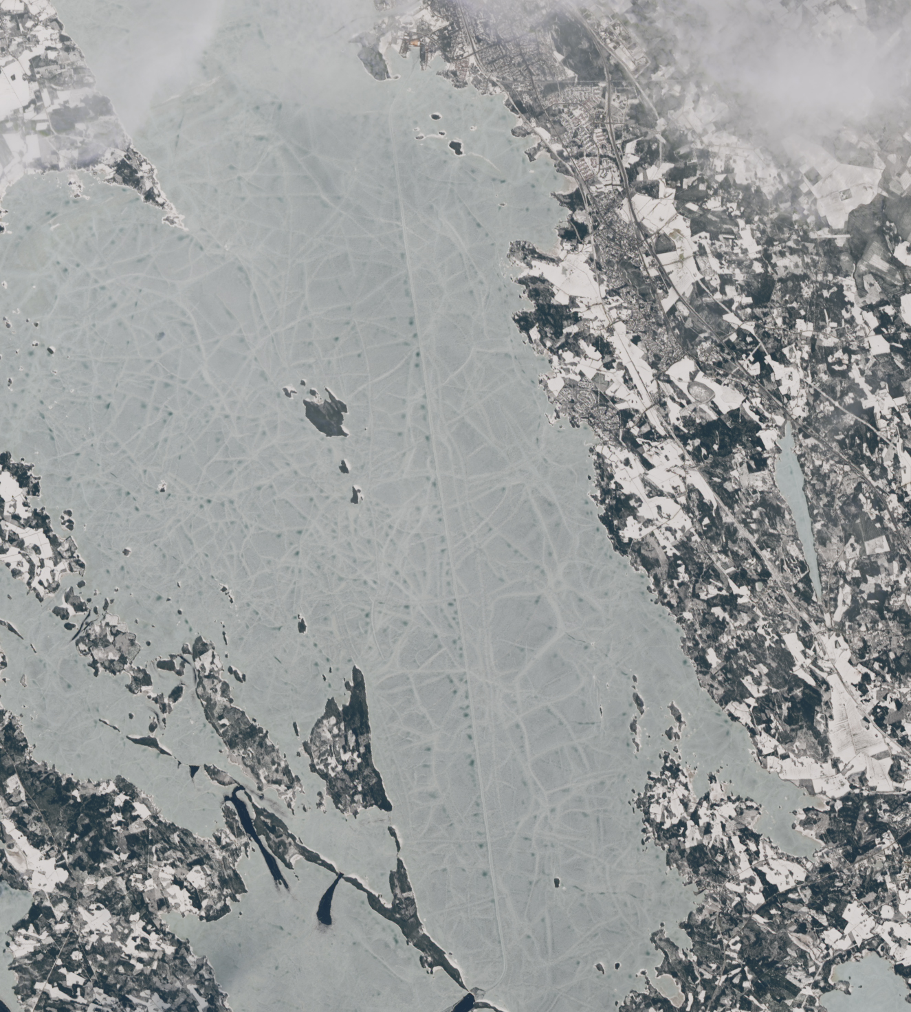
Spanning more than 4,000 square kilometers, Saimaa is the largest lake in Finland and one of the largest natural freshwater lakes in Europe. Ice typically covers the lake from December through April, but icebreaking vessels help keep the waters navigable for much of the year.
The OLI (Operational Land Imager) on the Landsat 8 satellite acquired these images during a relatively cloud-free day in April 2024. While snow and ice still covered much of the region, there are subtle signs of spring.
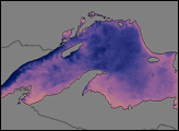
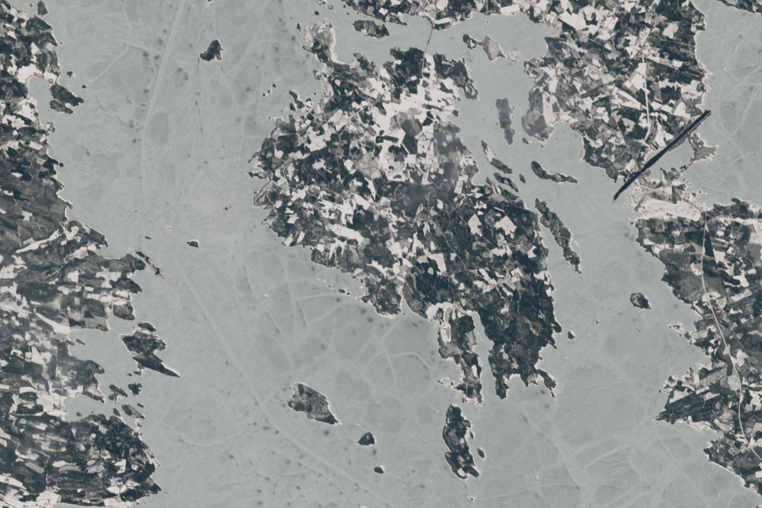
The vertical line south of Joensuu (top image) is a shipping lane. It is part of a network of paths in the ice that weave for hundreds of miles between the lake’s gauntlet of islands. About 40 kilometers (25 miles) southwest of Joensuu (second image), another stretch of a shipping lane is visible wrapping around Varpasalo, one of the larger islands in northern Saimaa.Icebreakers help keep shipping routes open for as long as possible into the winter. Shipping routes from winter 2023 are visible in the video below, produced by the USGS Earth Resources Observation and Science Center. But by January 2024, the ice had become too thick even for icebreakers to break.
Finland is home to icebreaker ships that keep ports and passageways open during the winter. A cloud-free January image from #Landsat 9 reveals shipping routes in southeastern Finland. Learn more about winter transportation in our Ice Roads Earthshot: https://t.co/v04XlQil7u pic.twitter.com/r1wKNcu6XU
— USGS EROS (@USGS_EROS) March 12, 2024
In the spring, as snow melted and ice thinned, shipping lanes reappeared in satellite images. The TYRSKY—a pusher tug and icebreaker—was steaming across Saimaa in April 2024, according to a map of ship positions in the region. A report on ice conditions on April 18 noted that the lake contained rotting ice measuring 25 to 50 centimeters (10 to 20 inches) thick, along with some areas of open water.
NASA Earth Observatory images by Michala Garrison, using Landsat data from the U.S. Geological Survey. Video by USGS Earth Resources Observation and Science (EROS) Center. Story by Kathryn Hansen.