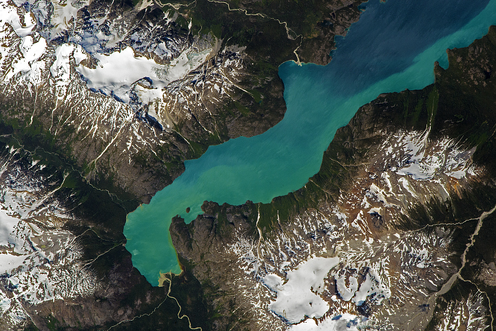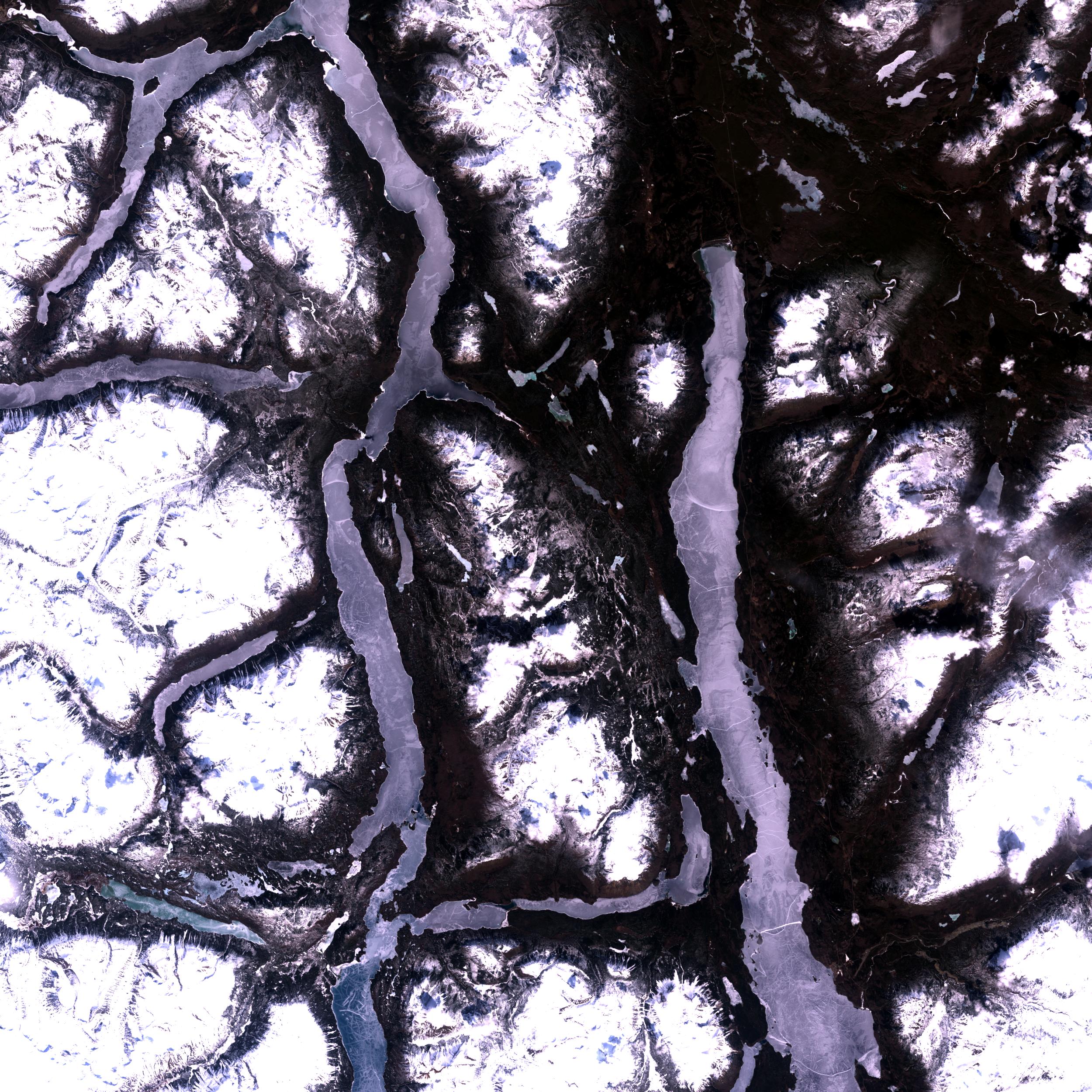
On January 18, 2000, meteorites fell onto the area shown in this Landsat 7 scene, acquired May 8, 2000. The center of the scene is in Canada's British Columbia, just south of the border with Yukon Territory and about 100 miles north of Juneau, Alaska (off the scene at the bottom). The first meteorites were recovered by Jim Brook, who was driving over the ice of the Taku Arm of Tagish Lake.
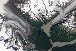
The general area is part of the Coast Mountains bordering the Pacific Ocean from Washington State to Alaska. One of the dominant geologic features here are the snow fields and glaciers of the Coast Mountains in the lower left of this scene. Because of their high elevation and location bordering the Pacific, snow accumulates and lasts year-round, giving rise to the glaciers at lower left. All the major valleys in this scene were probably carved by glaciers, which were much more extensive in the Pleistocene (up to about 10,000 years ago) than they are now. The shapes of these valleys, broad and u-shaped, is apparent even in this view from above. The lakes appear almost completely frozen in this scene, although some possible thaws are visible as dark areas at the north end of Tagish Lake.
A few young volcanoes are visible toward the lower right in the mountains east of the Taku Arm and Atlin Lake.
Image courtesy Brian Montgomery, NASA GSFC; Landsat 7 data provided by the EROS Data Center.