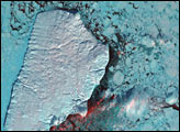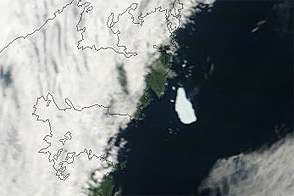
Scraped clean and weighted down for thousands of years by Pleistocene ice sheets, Akimiski Island in James Bay provides a case study of how Earth's land surfaces evolve following glaciation. During the last ice age, this small island was buried under several thousand meters ice, but since its retreat, the island has rebounded (risen in elevation) and new beach areas have emerged, streams and lakes have formed, and trees and other vegetation have colonized the new territory.
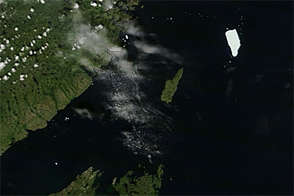
This image of Akimiski Island was captured by the Landsat 7 satellite on August 9, 2000. Mudflats surrounding the island brighten the nearshore waters, while rivers on the mainland (lower left; Ontario Province, Canada) spill brown, tannin-loaded sediments into the strait. The island is relatively flat; the highest elevations (around 60 meters) are found in the southern part of the island, where forested, north-south trending ridges (beach ridges shaped during the ice age) alternate with elongated lakes (close up image).
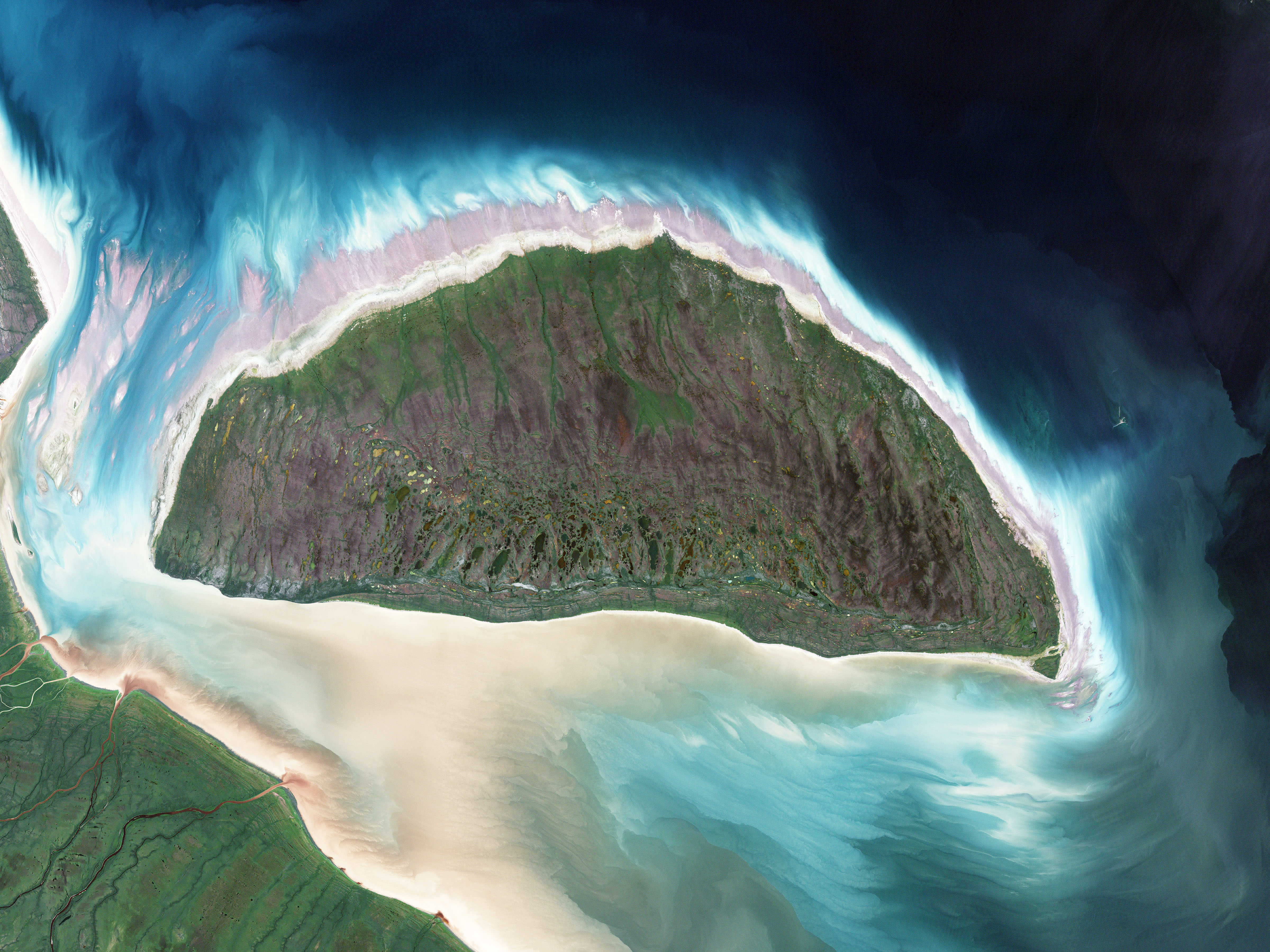
Along the southern coastline, the beach is traced with numerous “bathtub rings,” created by wave action on the shore at previous sea levels. The water line is the result of two competing processes. Sea levels rose as the Ice Age ended and ice sheets melted, but in addition, the island's elevation has increased over thousands of years as it rebounds from having been pressed down by the massive slabs of ice.
NASA image created by Jesse Allen, using Landsat data provided by the University of Maryland’s Global Land Cover Facility. Caption by Rebecca Lindsey.