
The journey has been a long one for the Deep Space Climate Observatory (DSCOVR). Once known as Triana, the mission was conceived in 1998 to provide continuous views of Earth, to monitor the solar wind, and to measure Earth’s albedo. It was canceled in 2001, and the partly-built satellite ended up in storage for several years with an uncertain future. In 2008, the National Oceanic and Atmospheric Administration (NOAA), NASA, and the U.S. Air Force decided to refurbish and refit the spacecraft. On February 11, 2015, DSCOVR was finally lofted into space by a SpaceX Falcon 9 rocket.
Though the launch went smoothly, and the solar arrays have unfurled and begun to power the spacecraft, DSCOVR has a great distance to travel before its main science sensors begin to send back data. The spacecraft is now on a 110-day journey toward a point about 1.6 million kilometers (1 million miles) from Earth at the L1 Lagrange Point. At that location—four times farther than the orbit of the Moon—the gravitational pull of the Sun and Earth cancel out, providing a stable orbit and a continuous view of Earth. Most other Earth-observing satellites orbit the planet from a distance of no more than 35,900 kilometers (22,300 miles).
DSCOVR’s primary mission is to replace the 17-year-old Advanced Composition Explorer (ACE) satellite, which also monitors solar activity. Data from DSCOVR’s plasma magnetometer, coupled with a new forecast model set to come online later this year, will enable NOAA’s space weather forecasters to predict the magnitude of geomagnetic storms on a regional basis. Geomagnetic storms are major disturbances of the Earth’s magnetosphere caused by the impact of plasma and magnetic fields streaming from the Sun toward Earth. Large eruptions from the Sun have the potential to disrupt power grids, navigation equipment, telecommunications, and satellites.
DSCOVR’s two Earth-observing sensors will provide views of Earth that have only rarely been available before. The Earth Polychromatic Imaging Camera (EPIC), a ten-channel spectroradiometer, will view the entire sunlit side of Earth at once, providing images reminiscent of the iconic Blue Marble photograph taken by Apollo 17 astronauts in 1972. DISCOVR scientists expect the EPIC camera to produce several true-color images of Earth every day. The first images from EPIC should be available six months after launch; new images of Earth will be posted to a NASA website approximately 24 hours after they are captured.
The other Earth-observing sensor, the National Institute of Standards and Technology Advanced Radiometer (NISTAR), will measure Earth’s albedo—the ratio of outgoing solar radiation to the incoming solar irradiance on its entire sunlit face. That measurement is key to understanding how human activities and natural processes affect the climate. While other satellites have measured Earth’s albedo, none have done so from L1.
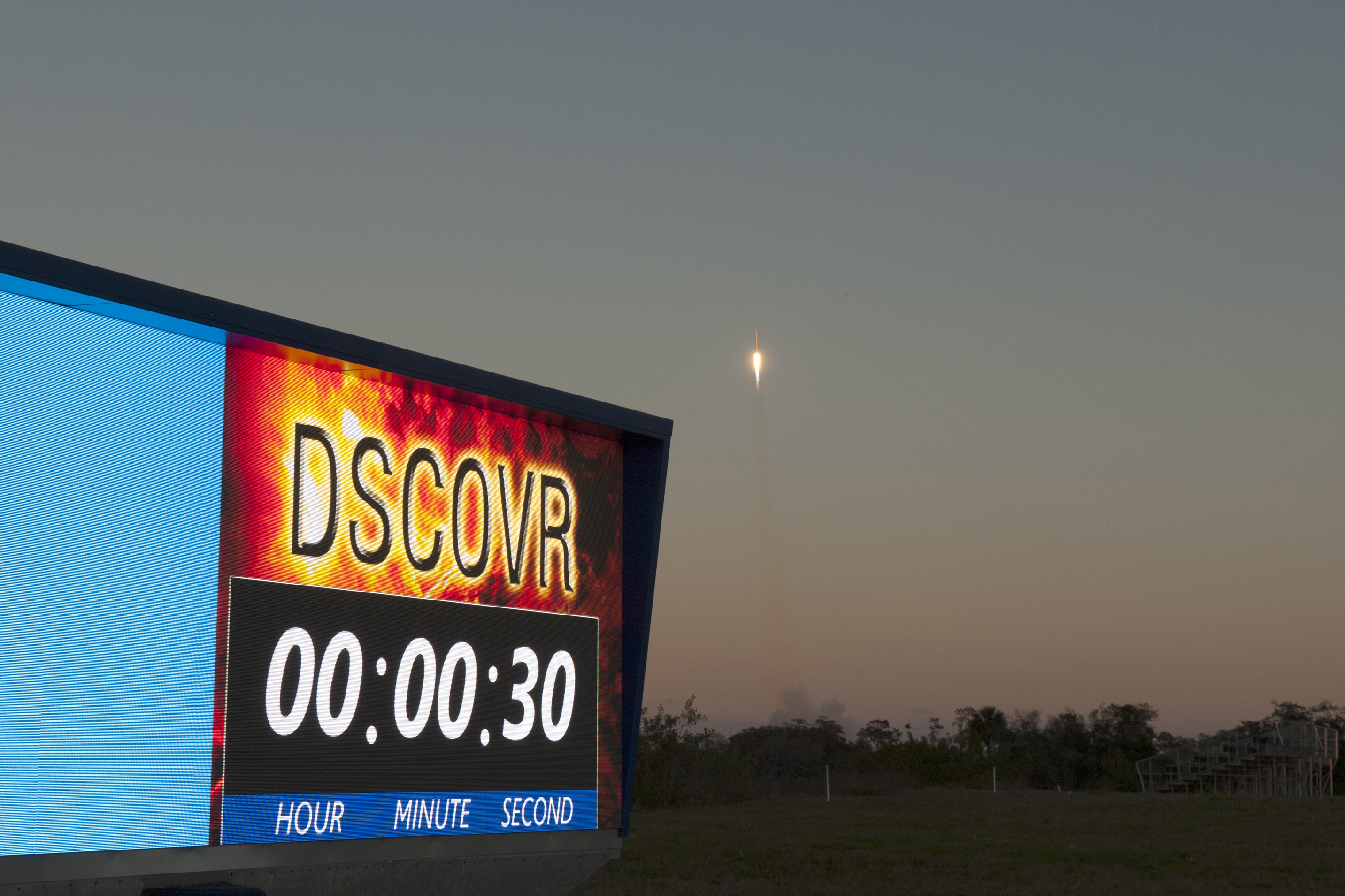
NASA photographs by Frankie Martin (bottom), Tony Gray (top), and Tim Powers (top). Video posted by NASA Kennedy Space Flight Center. Caption by Adam Voiland, with information from NASA and NOAA press releases.