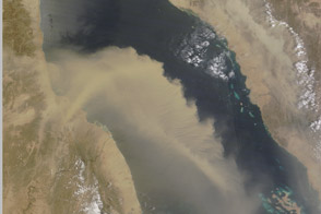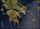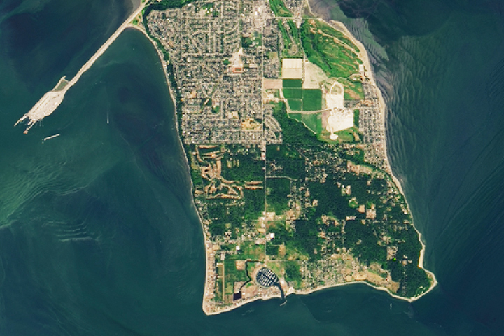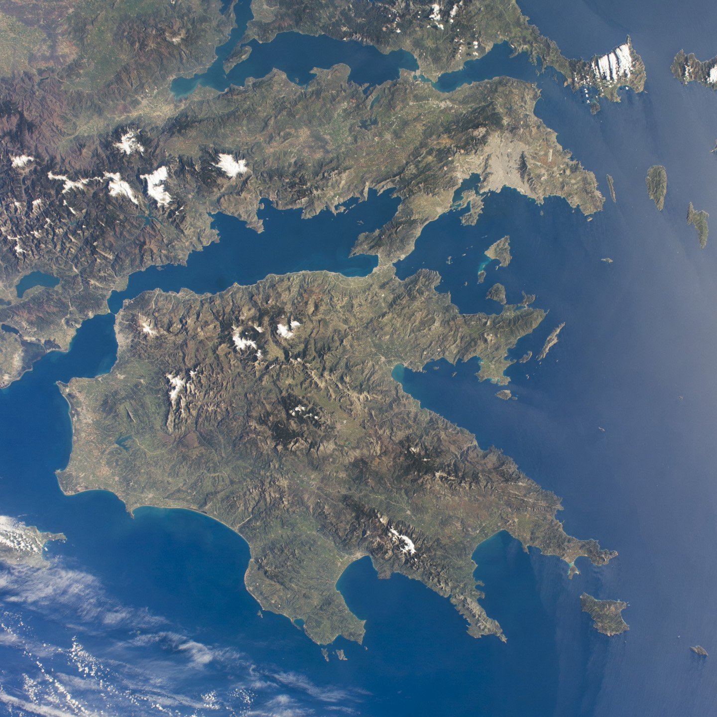
This photo from an astronaut on the International Space Station shows much of the nation of Greece. The urban region of Athens is recognizable due to its size and light tone compared to the surrounding landscape; the smaller cities of Megara and Lamia also stand out. Dark-toned mountains with snow-covered peaks contrast with warmer, greener valleys where agriculture takes place. The intense blue of the Mediterranean Sea fades near the Sun’s reflection point along the right side of the image, and numerous wind streaks in the lee of the islands become visible.
The Peloponnese—home in ancient times to the city-state of Sparta—is the great peninsula separated from the mainland by the narrow isthmus of Corinth. Several times over the centuries these narrows have acted as a defensive point against attack from the mainland. More recently in 1893, the narrows provided a point of connection when a ship canal was excavated between the gulfs to the west and to the east.
Astronaut photograph ISS039-E-3505 was acquired on March 21, 2014, with a Nikon D3S digital camera using a 28 millimeter lens, and is provided by the ISS Crew Earth Observations Facility and the Earth Science and Remote Sensing Unit, Johnson Space Center. The image was taken by the Expedition 39 crew. It has been cropped and enhanced to improve contrast, and lens artifacts have been removed. The International Space Station Program supports the laboratory as part of the ISS National Lab to help astronauts take pictures of Earth that will be of the greatest value to scientists and the public, and to make those images freely available on the Internet. Additional images taken by astronauts and cosmonauts can be viewed at the NASA/JSC Gateway to Astronaut Photography of Earth. Caption by M. Justin Wilkinson, Jacobs at NASA-JSC.