
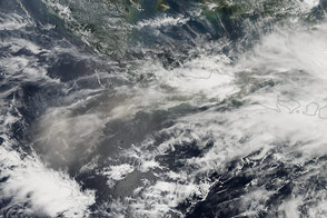
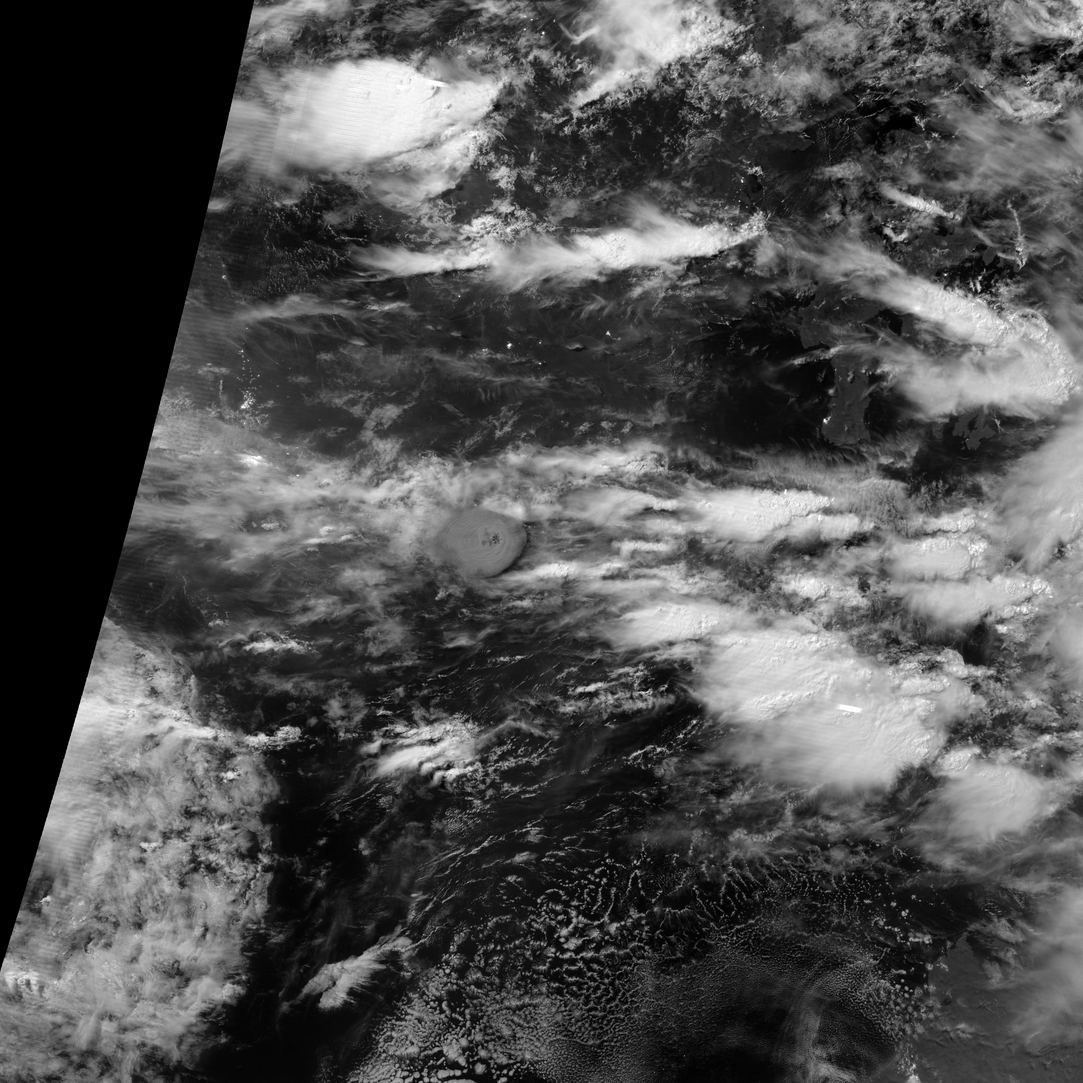
Late on February 13, 2014, the Indonesian volcano Kelut (also called Kelud) exploded with a powerful eruption. Satellites first detected the eruption plume at 11:09 p.m. local time (16:09 UTC). At 12:30 a.m. (17:30 UTC), the Visible Infrared Imaging Radiometer Suite (VIIRS) on the Suomi NPP satellite acquired the top image as the mushroom-shaped ash plume reached above a lighter-colored cloud deck.
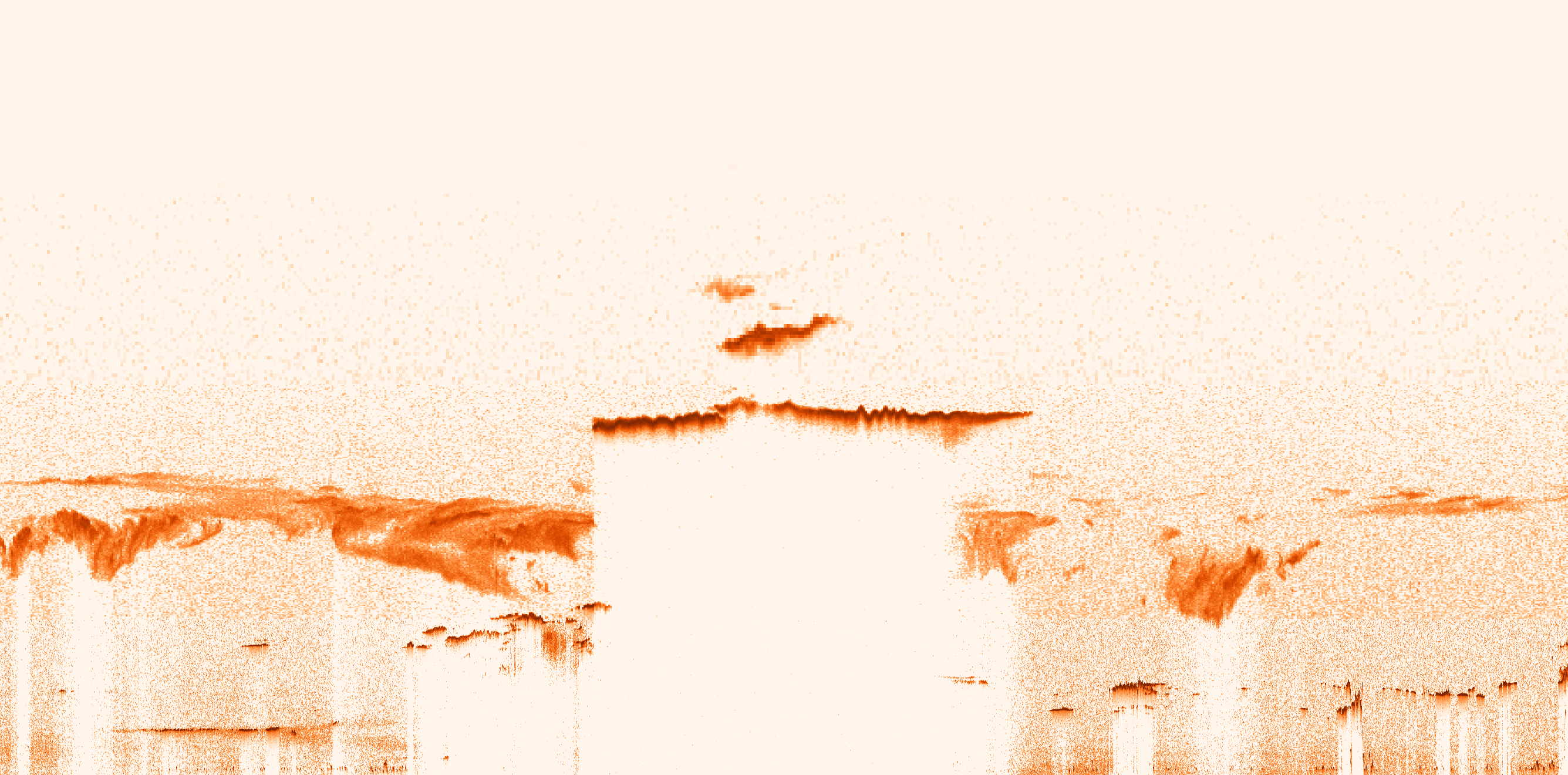
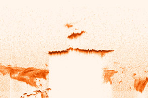
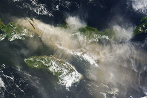
Forty minutes later, at 1:10 a.m. (18:10 UTC), the Cloud-Aerosol Lidar and Infrared Pathfinder Satellite Observation (CALIPSO) satellite flew over the plume with CALIOP, its lidar instrument. Acting like a laser range finder, CALIOP uses a laser to create a profile of clouds and particles in the atmosphere. The instrument recorded the ash cloud at nearly 20 kilometers (12 miles) altitude, with sections of the plume reaching to nearly 30 kilometers (19 miles).
Ash at this height poses a significant problem for airplanes becuase it can clog and stall jet engines. The eruptions forced seven airports in Central and East Java to close, eliminating all air travel in the region. More significant is the human impact: 200,000 people were evacuated from the 10-kilometer (6-mile) area around the volcano, and three people were reported dead.
Historically, Kelut has produced some of Indonesia’s most deadly eruptions, which typically include pyroclastic flows and lahars from a crater lake at the summit. After a 1919 eruption that left 5,000 dead, an engineering project attempted to drain the lake to minimize the threat during future eruptions. The biggest threat in the current eruption seems to be the ash, which is falling in a wide area around the volcano.
In the days leading up to the February 13 eruption, Kelut had shown signs of unrest with both deep and shallow earthquakes, surface inflation, and rising temperatures in the crater lake. Local volcanologists monitoring the volcano (at the Pusat Vulkanologi dan Mitigasi Bencana Geologi) had the volcano on alert level 3 (out of 4) in the days leading up to the eruption.
NASA Earth Observatory image by Jesse Allen, using expediated data provided by the CALIPSO team. Caption by Holli Riebeek.


