Editor’s Note: Today’s caption is the answer to Earth Observatory’s September Puzzler.
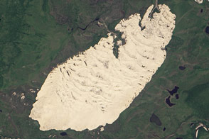
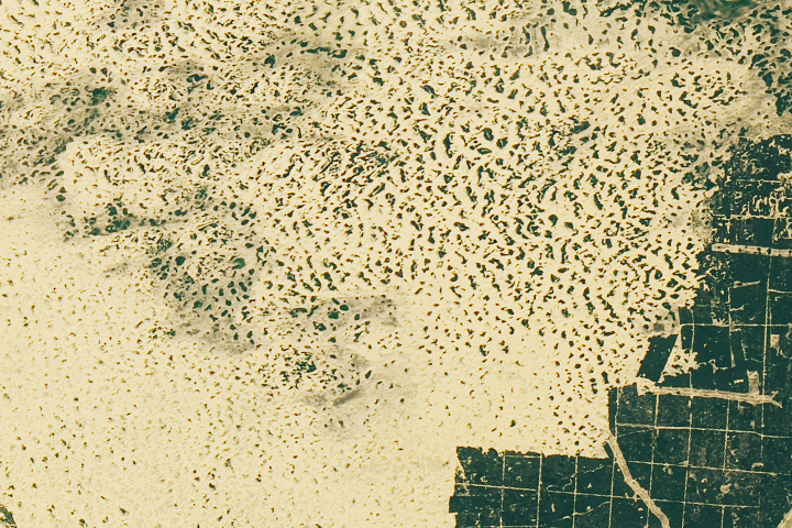
If you keep your eyes fixed downward while in the Chara Sands, it can seem like you are in the quintessential desert. At your feet, there are perfect grains of fine-grained quartz and feldspar sand. At eye level, undulating rows of crescent-shaped dunes are shaped by the wind. No forest or tree obscures the view—just tufts of grass amidst the sand.
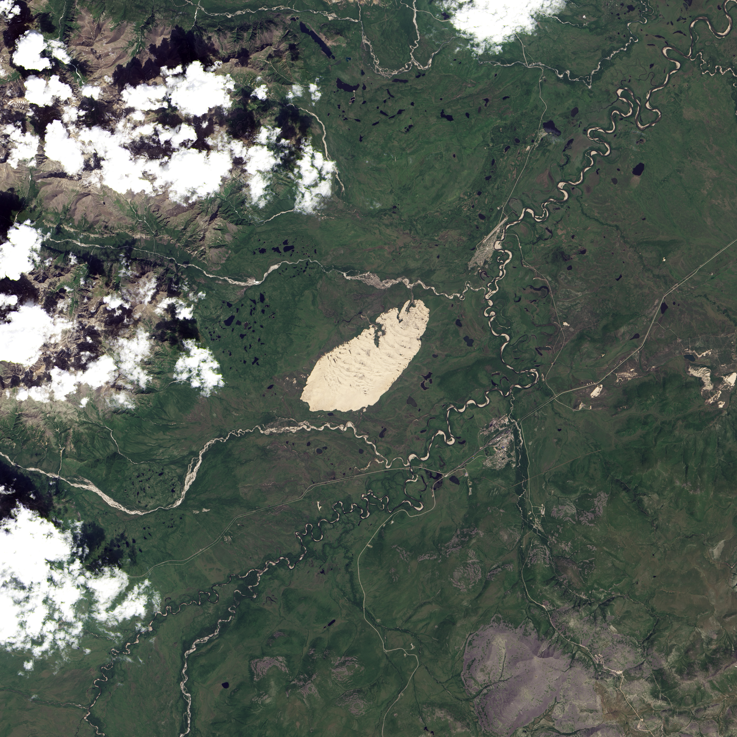
But climb ten or twenty meters up one of the taller dunes, look off into the distance, and the scenery gets peculiar. To the west, you will see the snow-capped Kodar mountains, with alpine glaciers sliding into narrow valleys. In the other cardinal directions, just beyond the dune field, rivers wind through taiga forest. You might even spot a reindeer wandering about or drinking from one of the lakes scattered around the sand field.
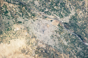
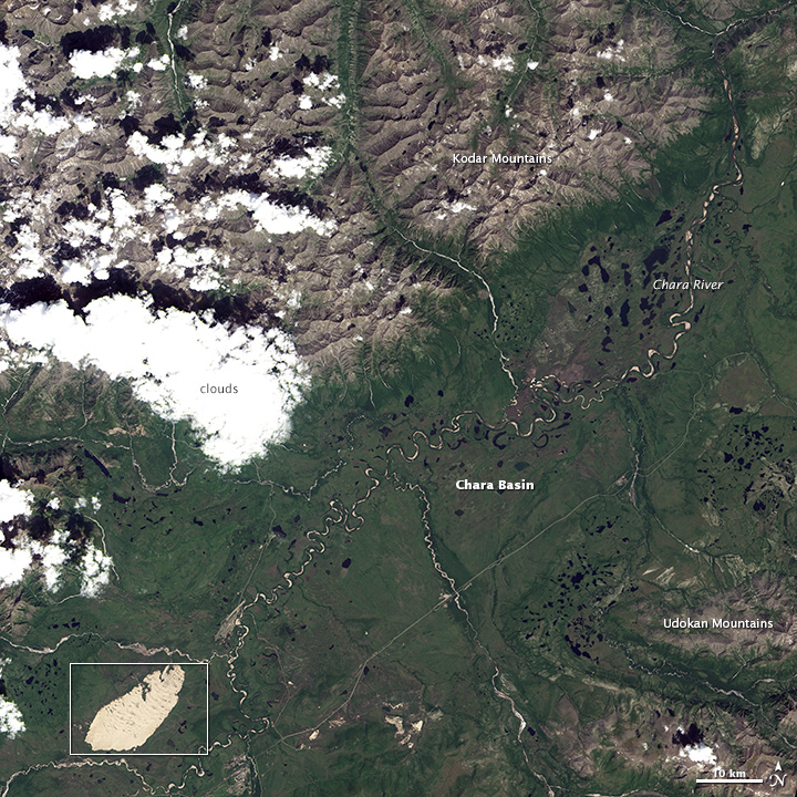
Located in Siberia’s Zabaikalsky region, the Chara Sands sit in a basin tucked between the Kodar and Udokan ranges. The sands are northwest of the town of Navoya Chara, which is at the same approximate latitude as Juneau, Alaska.
On July 11, 2013, the Operational Land Imager (OLI) on Landsat 8 captured this natural-color image of the Chara Sands. The sand field appears tan. The surrounding forests are green. The crescent-shaped lines in the sand field are the ridges of dunes.
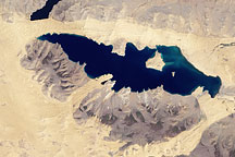
Though dry, the Chara Basin does not qualify as a true desert. The area receives about 35 centimeters (14 inches) of rain per year, mostly in the summer months. Though there are various definitions for deserts, one of the most commonly accepted is that deserts receive less than 25 centimeters (10 inches) of rain per year.
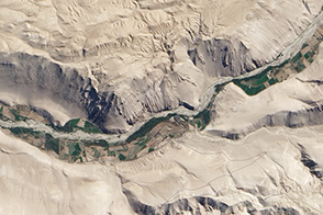
The glaciers in the Kodar range offer a clue to the origin of this peculiar patch of sand. About 20,000 years ago, during the last glacial maximum, the Kodar had more glaciers than today. During this period, geologists believe, one or multiple glaciers blocked the Chara River as it left the Chara Basin and entered the Kodar range (upper right of the lower image). A glacial lake formed in part of the basin.
During earlier glacial periods, geologists think the lake may have been even larger. The Chara Sands were probably deposited as part of a delta left by a river as it entered this lake, according to Swedish researchers who mapped the geological history of the area using data from Landsat 7 and the Shuttle Radar Topography Mission.
NASA Earth Observatory image by Jesse Allen and Robert Simmon, using Landsat data from the U.S. Geological Survey. Caption by Adam Voiland. Congratulations to Felix Bossert for being the quickest to solve the puzzler. Also congratulations to Robert Emberson for providing interesting details about geologic history of the dunes.