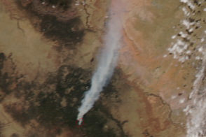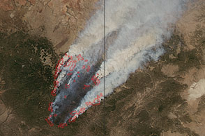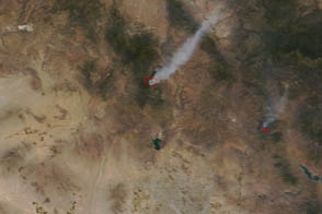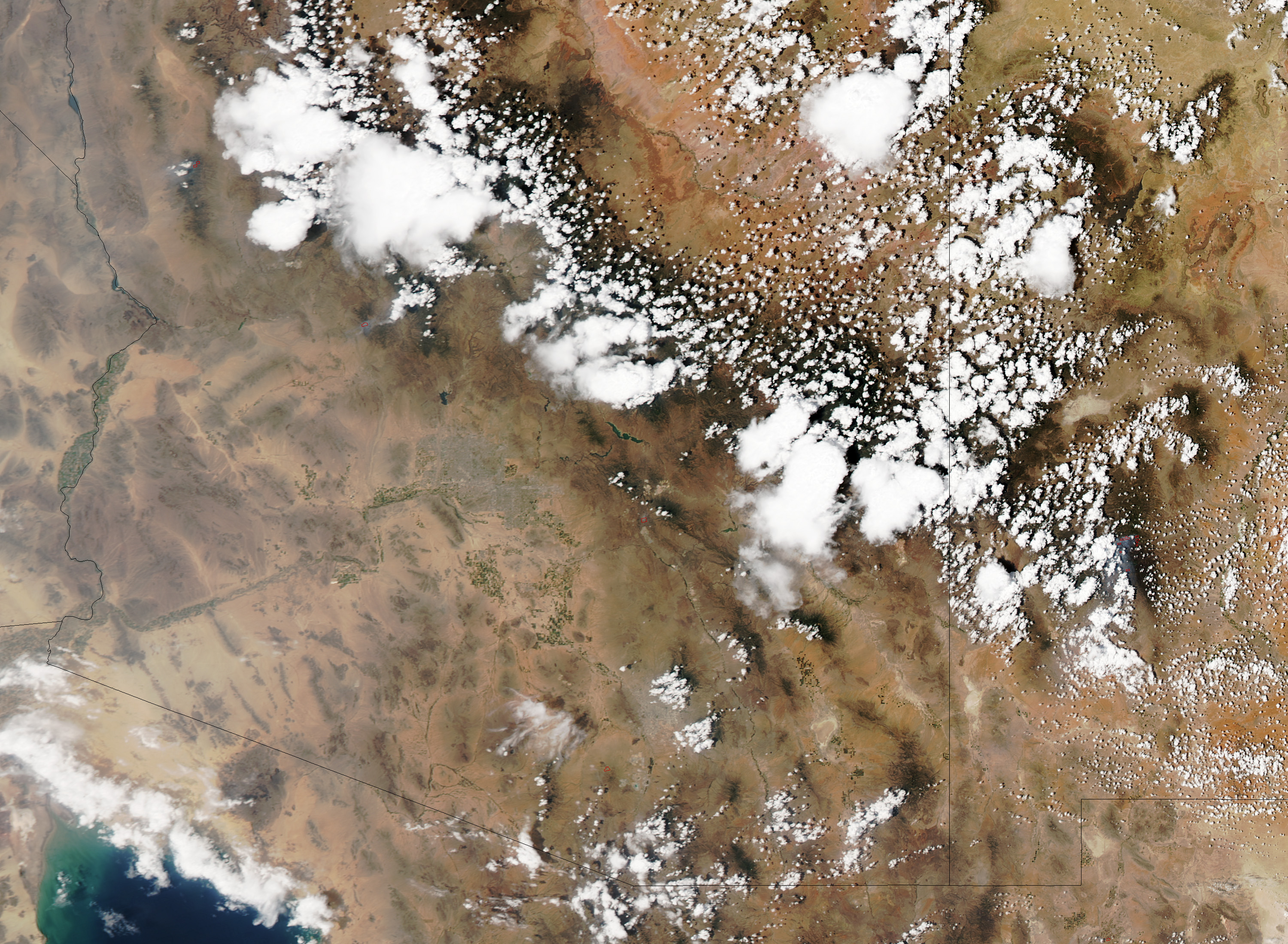
On July 1, 2013, the Moderate Resolution Imaging Spectroradiometer (MODIS) on NASA’s Aqua satellite captured this image of the Yarnell Hill fire in Arizona, near the town of Yarnell. The destructive blaze killed 19 firefighters and destroyed more than 200 homes.
Red outlines indicate hot spots where MODIS detected unusually warm surface temperatures associated with fire. The image is centered at 112.791° West longitude and 34.225° North latitude.
NASA image by Jeff Schmaltz, LANCE/EOSDIS Rapid Response. Caption by Adam Voiland.