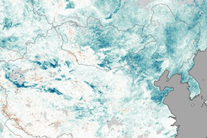
Some winter storms drop snow for many hours and leave broad trails of white that are hundreds of kilometers wide. That was not the case when a weak storm moved across Oklahoma and into southern Kansas on January 12, 2013.
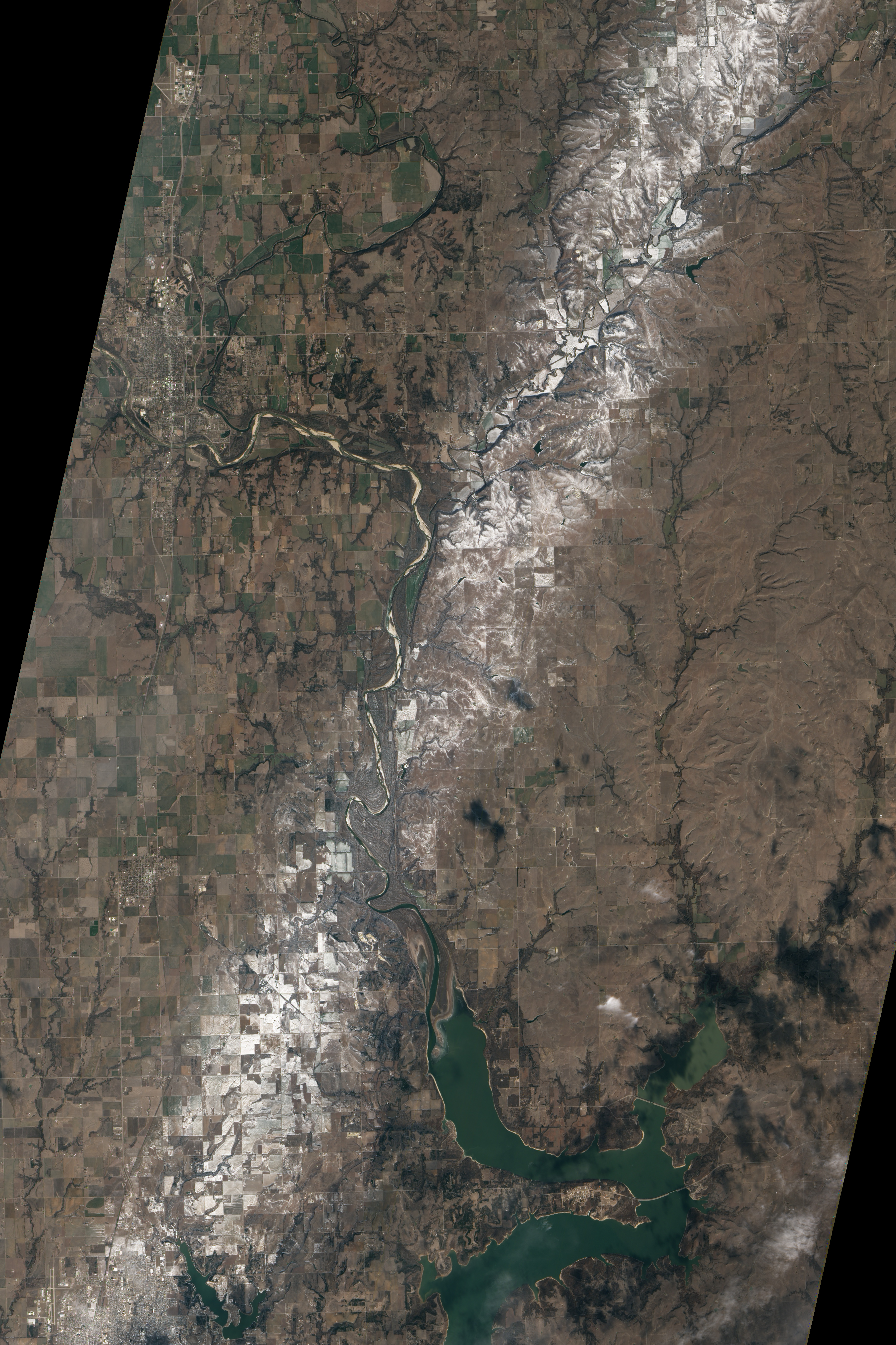
As the system crossed the Arkansas River near Newkirk, Oklahoma, the storm dropped a pint-sized “mesoscale snow band” that appeared to be about eight kilometers (5 miles) across at its widest point. The Advanced Land Imager (ALI) on NASA’s Earth Observing-1 (EO-1) satellite acquired this natural-color image of the snow on January 15, 2013.
“Although there is debate as to what exactly causes them, these mesoscale snow bands are common in the comma head region of winter storms and can significantly add to local snow accumulations,” explained Steve Nesbitt, an atmospheric scientist at the University of Illinois and a member of the science team for the upcoming Global Precipitation Measurement (GPM) mission.
The snow band above wasn’t the only one that the weather system dropped. To the west, a lighter strip of snow cut through east Wichita; to the east, the storm system left a much wider band. In all of the bands, snowfall was short-lived but intense, significantly reducing visibility but lasting only about 20 minutes at any one location, according to the Wichita office of the National Weather System. Total accumulations ranged from a few tenths of a centimeter to around 2.5 centimeters (1 inch) in some areas.
“The image helps accentuate the region of heaviest snow,” said Nesbitt. “Melting and sublimation in the three days since the storm left snow signatures in the areas that got the most from the storm.”
NASA Earth Observatory image by Jesse Allen and Robert Simmon, using EO-1 ALI data provided courtesy of the NASA EO-1 team. Caption by Adam Voiland.