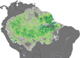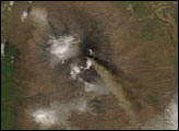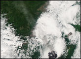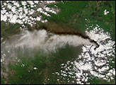
The Klyuchevskaya Volcano on Russia’s Kamchatka Peninsula continued its ongoing activity by releasing another plume on May 24, 2007. The same day, the Moderate Resolution Imaging Spectroradiometer (MODIS) on NASA’s Terra satellite captured this image, at 01:00 UTC.
In this image, a hotspot marks the volcano’s summit. Outlined in red, the hotspot indicates where MODIS detected unusually warm surface temperatures. Blowing southward from the summit is the plume, which casts its shadow on the clouds below. Near the summit, the plume appears gray, and it lightens toward the south.
With an altitude of 4,835 meters (15,863 feet), Klyuchevskaya (sometimes spelled Klyuchevskoy or Kliuchevskoi) is both the highest and most active volcano on the Kamchatka Peninsula. As part of the Pacific “Ring of Fire,” the peninsula experiences regular seismic activity as the Pacific Plate slides below other tectonic plates in the Earth’s crust. Klyuchevskaya is estimated to have experienced more than 100 flank eruptions in the past 3,000 years. Since its formation 6,000 years ago, the volcano has seen few periods of inactivity.
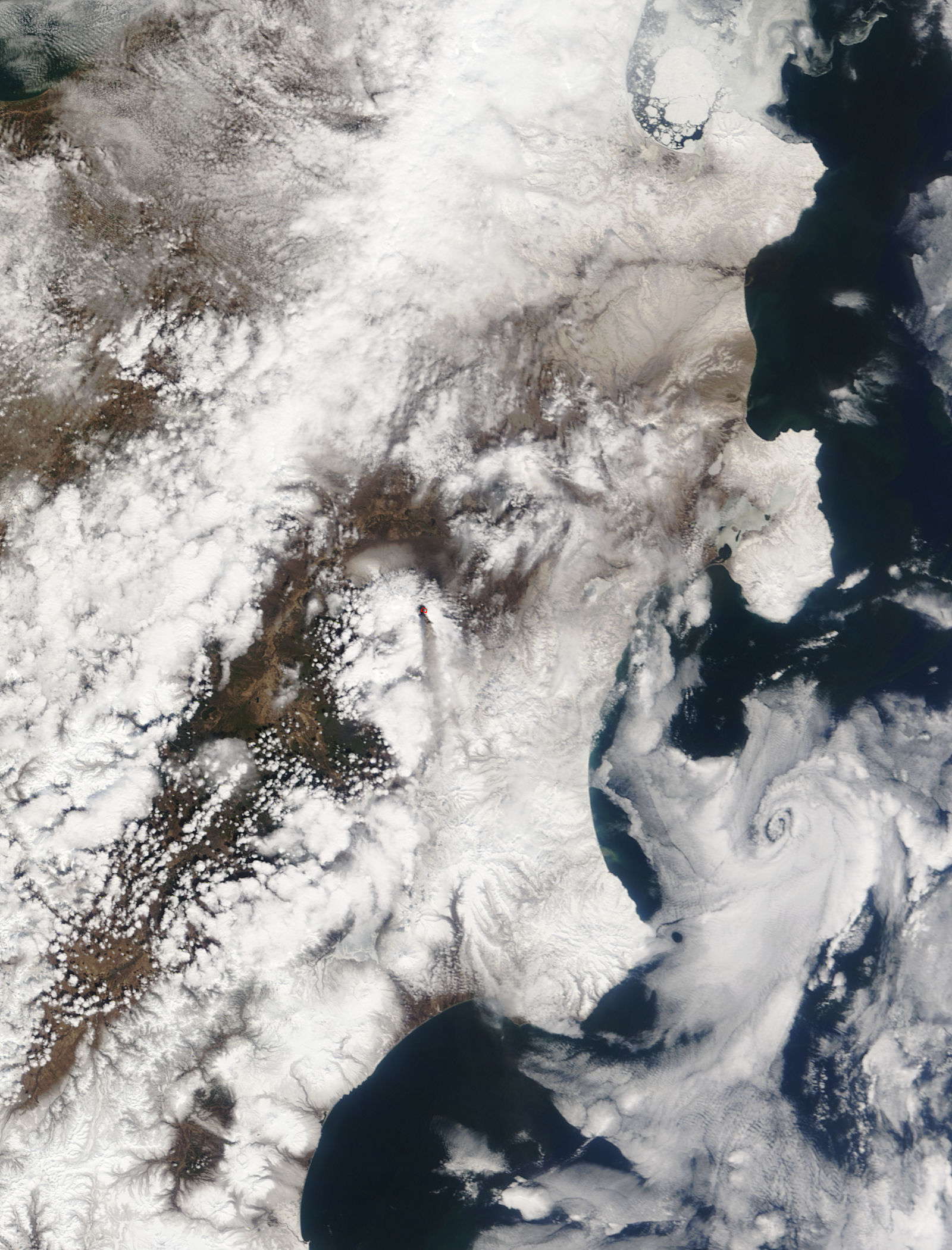
NASA image courtesy the MODIS Rapid Response Team at NASA GSFC. The Rapid Response Team provides daily images of this region.