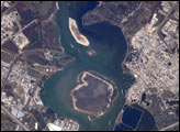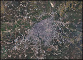
Northeastern China’s Songhua River flows northward out of the Changbai Mountains and cuts across the Manchurian Plain before emptying into the Amur River, which separates northeastern China from Russia’s Far East. As China’s northernmost river system, the Songhua is an important artery for transporting agricultural products grown on the plain. On its way, the river flows past Harbin, the capital of China’s Heilongjiang Province, where it is the source of drinking water for several million people. In November 2005, the city faced a water crisis when an explosion at a chemical factory spilled toxic levels of benzene into the Songhua. In late December, the spill reached the Russian city of Khabarovsk.
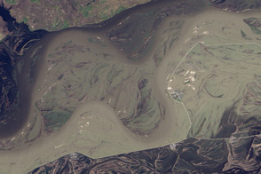
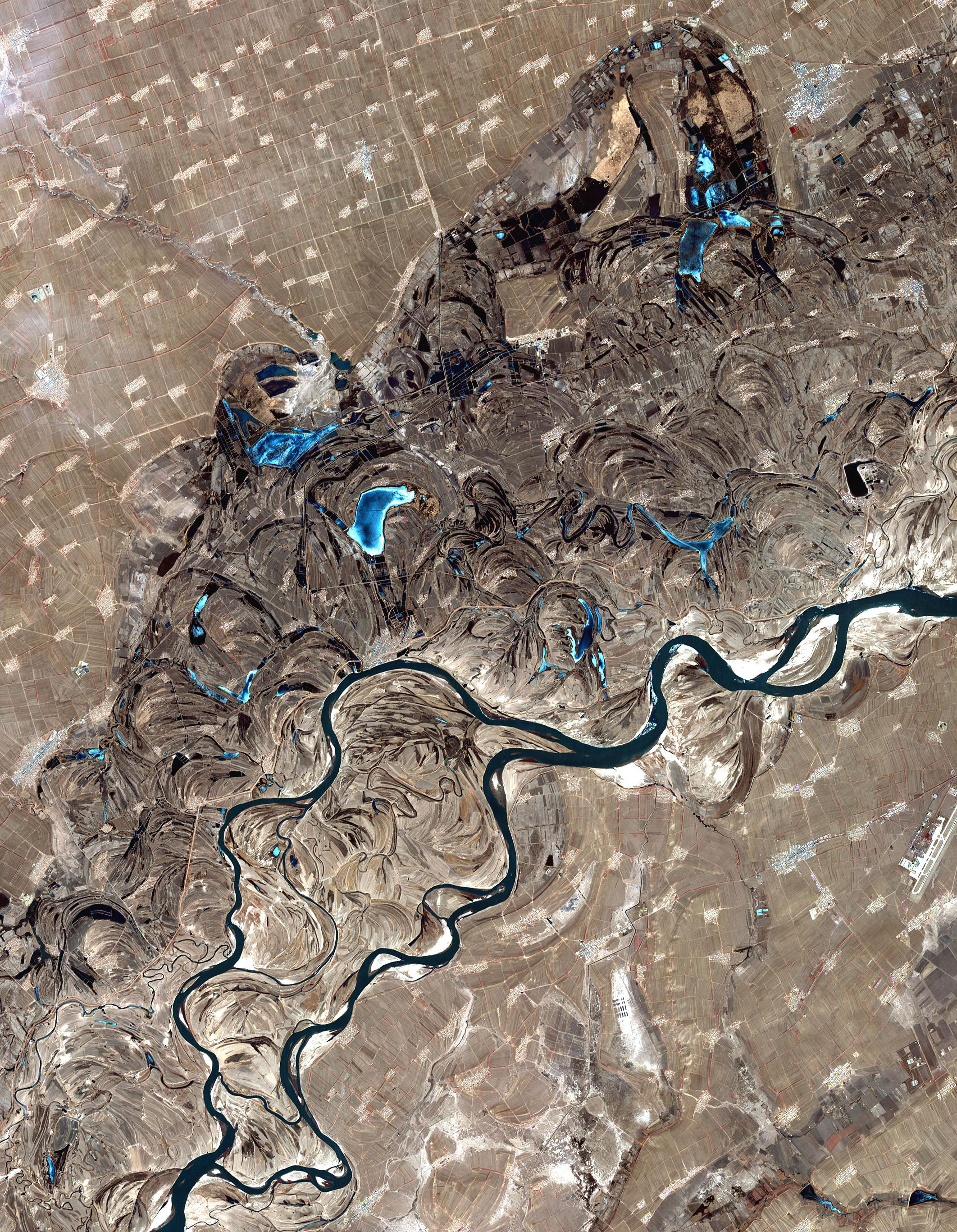
This image from the Advanced Spaceborne Thermal Emission and Reflection Radiometer (ASTER) on NASA’s Terra satellite shows the Songhua River just upstream (west) of the city of Harbin on April 1, 2002. The main stem of the river and its myriad channels appear deep blue, winding from bottom left toward center right. To the west of the river, shallow lakes appear electric blue. The surrounding landscape reveals the Manchurian Plain in shades of brown, crossed by pale lines (roads) and spots (villages and towns).
The extreme flatness of the Manchurian Plain has caused the river to meander widely over time. The result of the meandering is that the river is surrounded by a wide plain that is filled with swirls and curves, showing paths the river once took. The plain includes classic features of meandering rivers, such as ox-bow lakes—semi-circular lakes formed when a meander (a wide bend in the river) is cut off from the main channel by river-deposited sediment. Meandering rivers shift their positions across the valley bottom by depositing sediment on the inside of bends while simultaneously eroding the outer banks of the meander bends.
The high-resolution image covers an area of 31.9 kilometers by 41.0 kilometers, and is centered near 45.4 degrees North latitude, 126.9 degrees East longitude.
Image courtesy NASA/GSFC/METI/ERSDAC/JAROS, and the U.S./Japan ASTER Science Team.