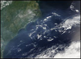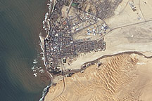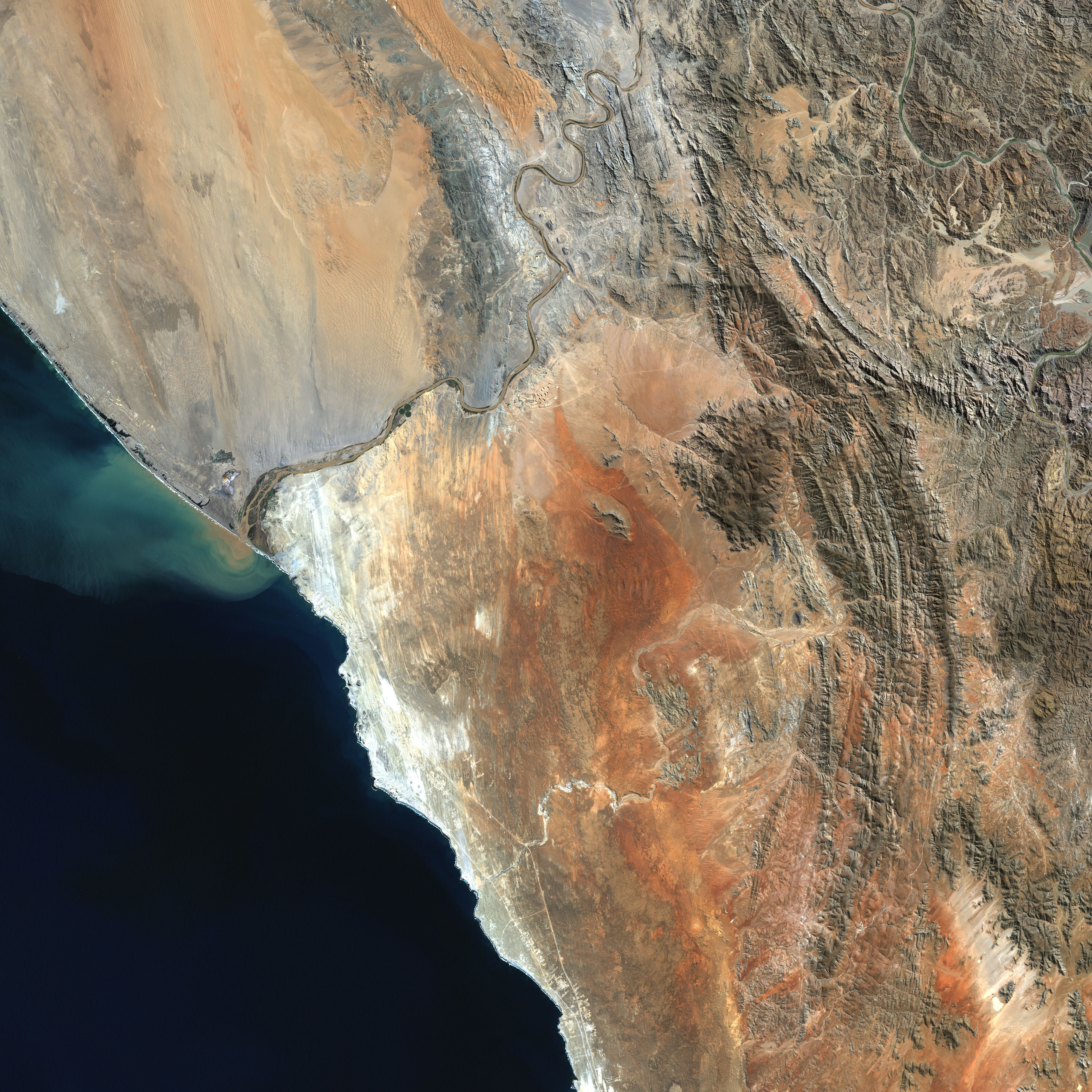
In southwestern Africa, the Orange River carves through a rugged, stark, and beautiful landscape before emptying its desert-sand-filled waters into the South Atlantic Ocean. The river is a political and geographical divide, separating Namibia from South Africa and the massive sand dunes of the lower Namib Desert from the swept-rock moonscape of northwestern Namaqualand.
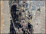
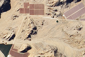
This image shows only the last 100 kilometers or so of the Orange River, which is born in the Drakensberg Mountains on the eastern side of the continent and snakes more than 2,000 kilometers across South Africa. In this last stretch the gravel deposits in the river bed and along the banks are rich with diamonds, and several diamond mines operate along the stretch pictured here.
The Orange River is a bit like a moat that the Namib Desert can't cross. The region's winds generally blow north to south, sculpting the dunes and picking up loose sand and dust. The dust settles on the river, which carries it out to sea. On the south side of the Orange River, the rusted-iron rockscape appears in shades of orange, cream, and brown. The rugged, semi-arid landscape is stunning on its own, but each August to October, the brief spring rainy season adds a breathtaking layer of beauty as wildflowers blanket the region. At other times of the year, moisture may come only from the fog that rolls in off the Atlantic.
The Enhanced Thematic Mapper Plus (ETM+) instrument on Landsat 7 aquired this scene on April 11, 2001. This natural-color composite was created by combining red, greeen, and blue wavelength data (ETM+ bands 3, 2, & 1).
NASA image created by Jesse Allen, Earth Observatory, using data obtained courtesy of the University of Maryland’s Global Land Cover Facility.