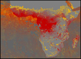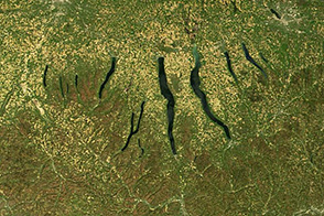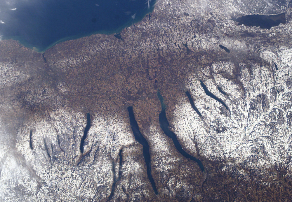
A late fall snowstorm frosted the hills of the Finger Lakes region of central New York in early December. Shapes of the snow-covered hills are accented by the low Sun angles, and contrast with the darker, finger-shaped lakes filling the region’s valleys. The steep, roughly parallel valleys and hills of the Finger Lakes region were shaped by advancing and retreating ice sheets that were as much as 2 miles deep during the last ice age (2 million years to about 10,000 years ago). River valleys were scoured into deep troughs; many are now filled with lakes. The two largest lakes, Seneca and Cayuga, are so deep that the base of their lakebeds are below sea level.
The cities of Rochester, Syracuse, and Ithaca are included in this field-of-view, taken from the International Space Station. These three cities enjoy large seasonal snowpacks, thanks to the influence of the Great Lakes producing lake-effect snowstorms. Despite its reputation for long winters, the region is balmy compared with the glacial climate present when the landscape was carved. At the time of the greatest ice extent, yearly average temperatures over northern North America were several degrees lower than today.
Astronaut photograph ISS010-E-9366 was acquired December 4, 2004, with a Kodak 760C digital camera with a 50-mm lens, and is provided by the ISS Crew Earth Observations experiment and the Image Science & Analysis Group, at NASA’s Johnson Space Center. The International Space Station Program supports the laboratory to help astronauts take pictures of Earth that will be of value to scientists and the public, and to make those images freely available on the Internet. Additional images taken by astronauts and cosmonauts can be viewed at the NASA/JSC Gateway to Astronaut Photography of Earth.