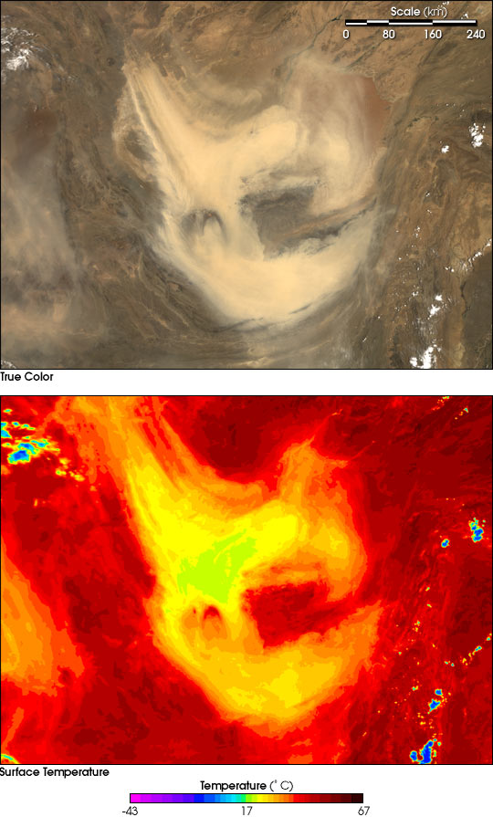
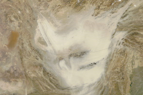
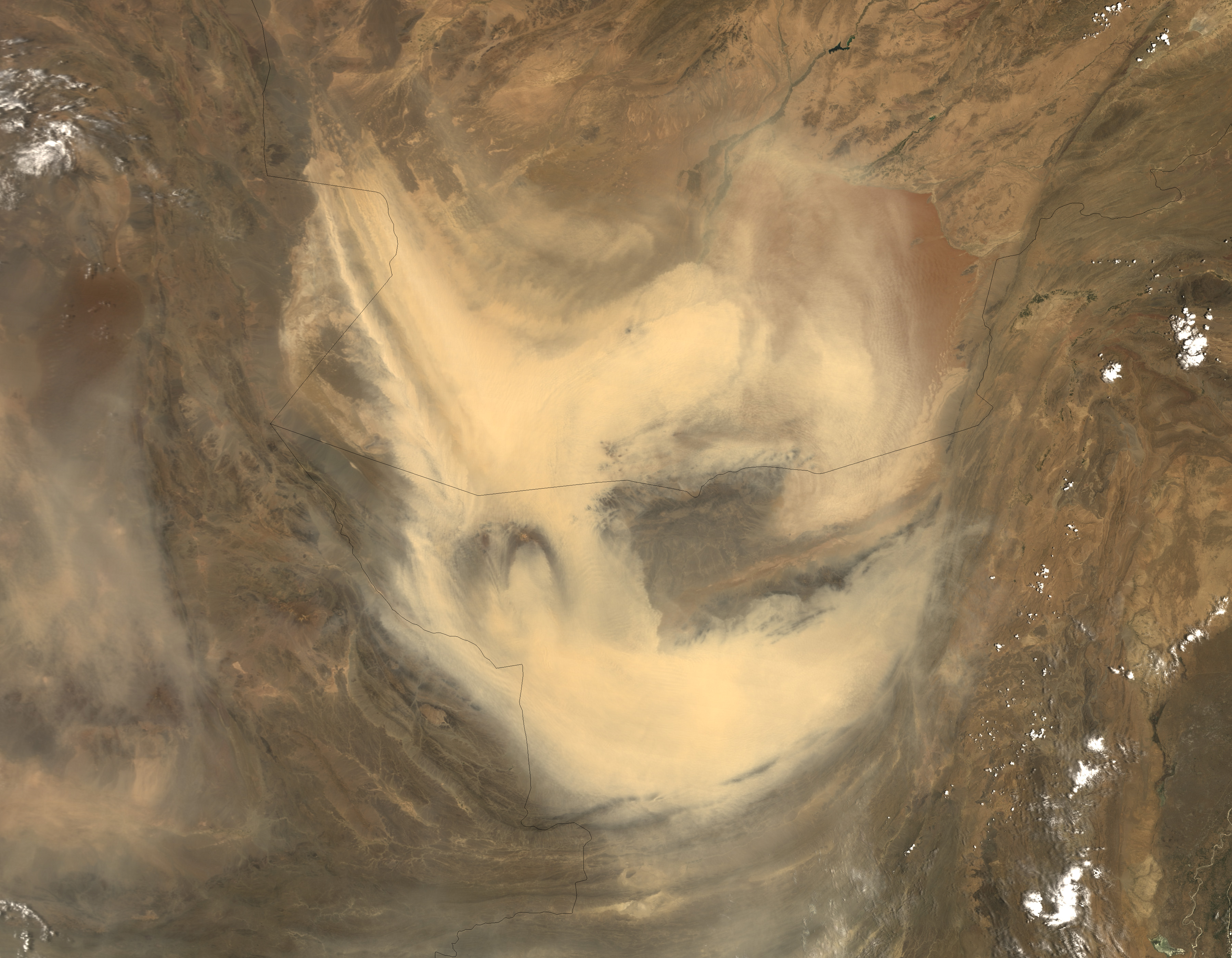
A heavy curtain of dust lay over southern Afghanistan and northern Pakistan on June 14, 2004. The dust appears to be blowing out of the Sistan basin, which is on the Afghan-Iranian border. The Sistan basin is a vast complex of lakes and marshes fed by small streams and rivers flowing primarily from the mountainous highlands of Afghanistan. With the exception of three shallow freshwater lakes, only one of which is visible in the true-color image as a dark depression near the origin of the storm (top left), the wetlands dry completely during the dry season, leaving deposits of alluvial silt, which is easily lifted on the wind. In this Moderate Resolution Imaging Spectroradiometer (MODIS) image, the dust is masking the arid deserts of Afghanistan and Pakistan and is sweeping around the Chagai Hills, the dark land in the center of the storm. The crescent of the Siahan Mountain Range in Pakistan is preventing the dust from blowing further south.
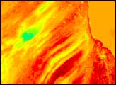
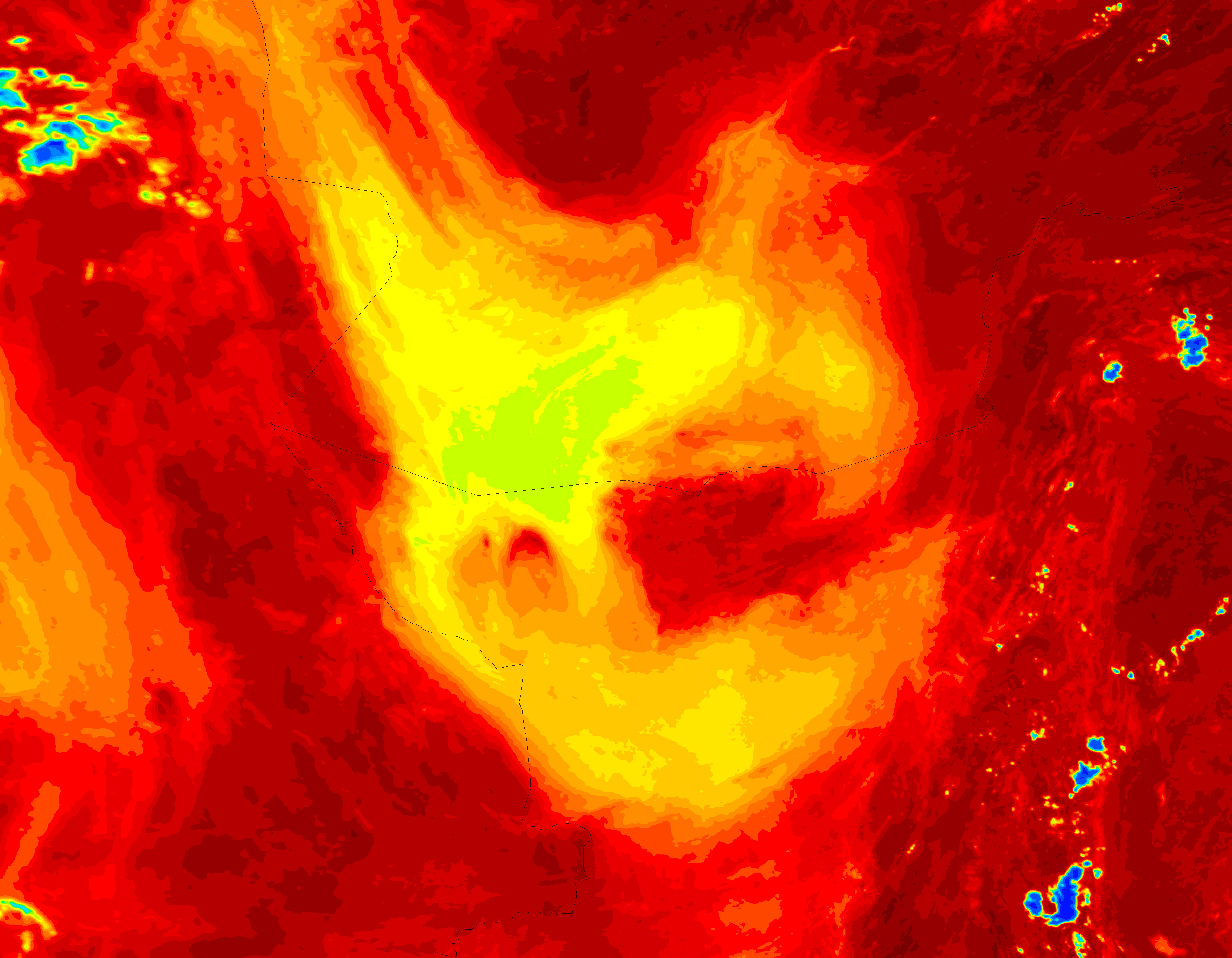
Once airborne, the dust cools considerably, which makes it stand out in this surface temperature image. Here, the dust is as much as 40 degrees Celsius cooler than the hottest regions on the ground. The land temperature in this image reaches up to 57 degrees C (135 degrees F) in pockets where the land is darker, and therefore, absorbs more sunlight. Patches of clouds also show up as extremely cold blue regions in the temperature image. Though the dust is easy to see in this image, surface temperature images can make dust storms easier to spot when the dust is the same color as the ground.
Both the true-color and the surface temperature images are available in multiple resolutions. Both images were captured by the MODIS instrument on NASA’s Terra satellite on June 14, 2004.
Image courtesy Jacques Descloitres and Ana Pinheiro, MODIS Rapid Response Team Credit: NASA GSFC, MODIS Rapid Response Team

