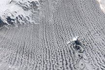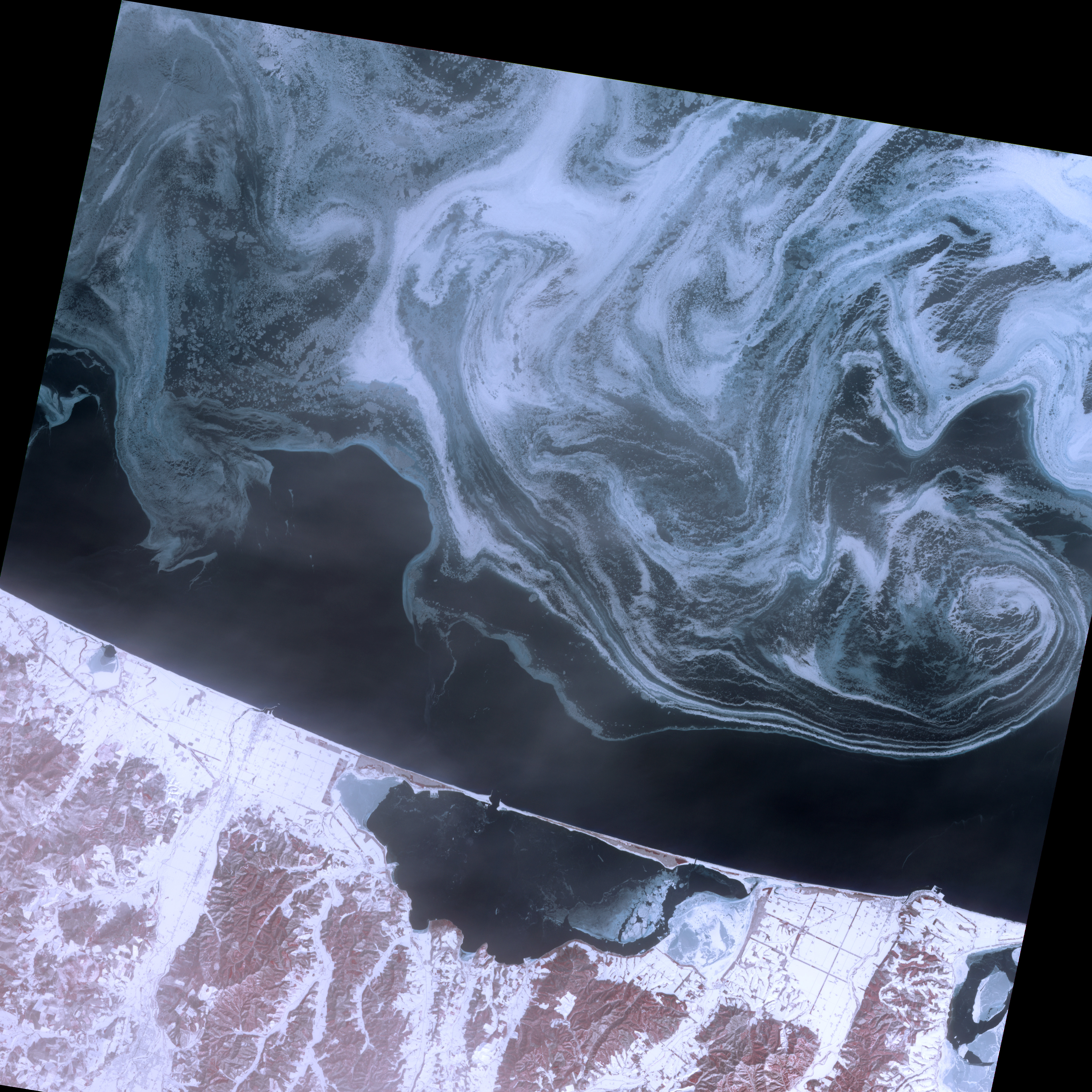
Sea ice formed delicate swirls of blue and white in the Sea of Okhotsk in February 2009. This image acquired by the Advanced Spaceborne Thermal Emission and Reflection Radiometer (ASTER) on NASA’s Terra satellite shows the northern coast of Japan’s Hokkaido Island on February 11, 2009. In this false-color image, water is dark blue, sea ice and snow are pale blue or white, and vegetation is red.
Rather than presenting a uniform white appearance, the sea ice in this image resembles different shades of paint in the early stages of mixing. South of the sea ice lies an area of open water. South of the open water is the coastline, partially covered with snow. The enclosed water body along the coast is Saroma-ko, and thin layers of ice float at both the east and west ends of this lake.
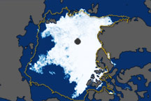
The Sea of Okhotsk has long been home to our planet’s southernmost Arctic sea ice. Ice spreads southward out of the Arctic each winter, along the eastern edge of Sakhalin Island (or Sakhalinskaya Oblast), which lies immediately north of Hokkaido. Historically, the southernmost tip of the Arctic sea ice has touched Hokkaido’s northern coast.
Besides providing habitat for seabirds and marine mammals, sea ice—also known as drift ice—in this region promotes the growth of phytoplankton. When sea ice melts, it leaves nutrient-rich freshwater in its wake. These waters encourage phytoplankton to grow, thereby playing a crucial role in the marine food chain. Between 1979 and 2008, however, sea ice in the Sea of Okhotsk gradually declined. Despite a spike in the winter of 2001, sea ice extent declined sharply after the year 2000.
NASA image created by Jesse Allen, using data provided courtesy of NASA/GSFC/METI/ERSDAC/JAROS, and U.S./Japan ASTER Science Team. Caption by Michon Scott.