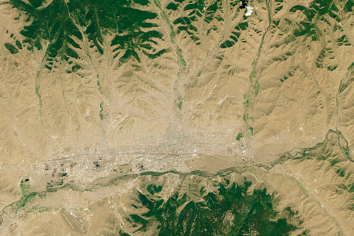
Known as both the “City of Roses” and the “Pearl of the West,” Guadalajara is Mexico’s second largest city with a population of more than 3 million people. The city was founded by the Spanish in 1542 and is known for its exquisite architecture.
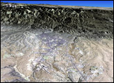
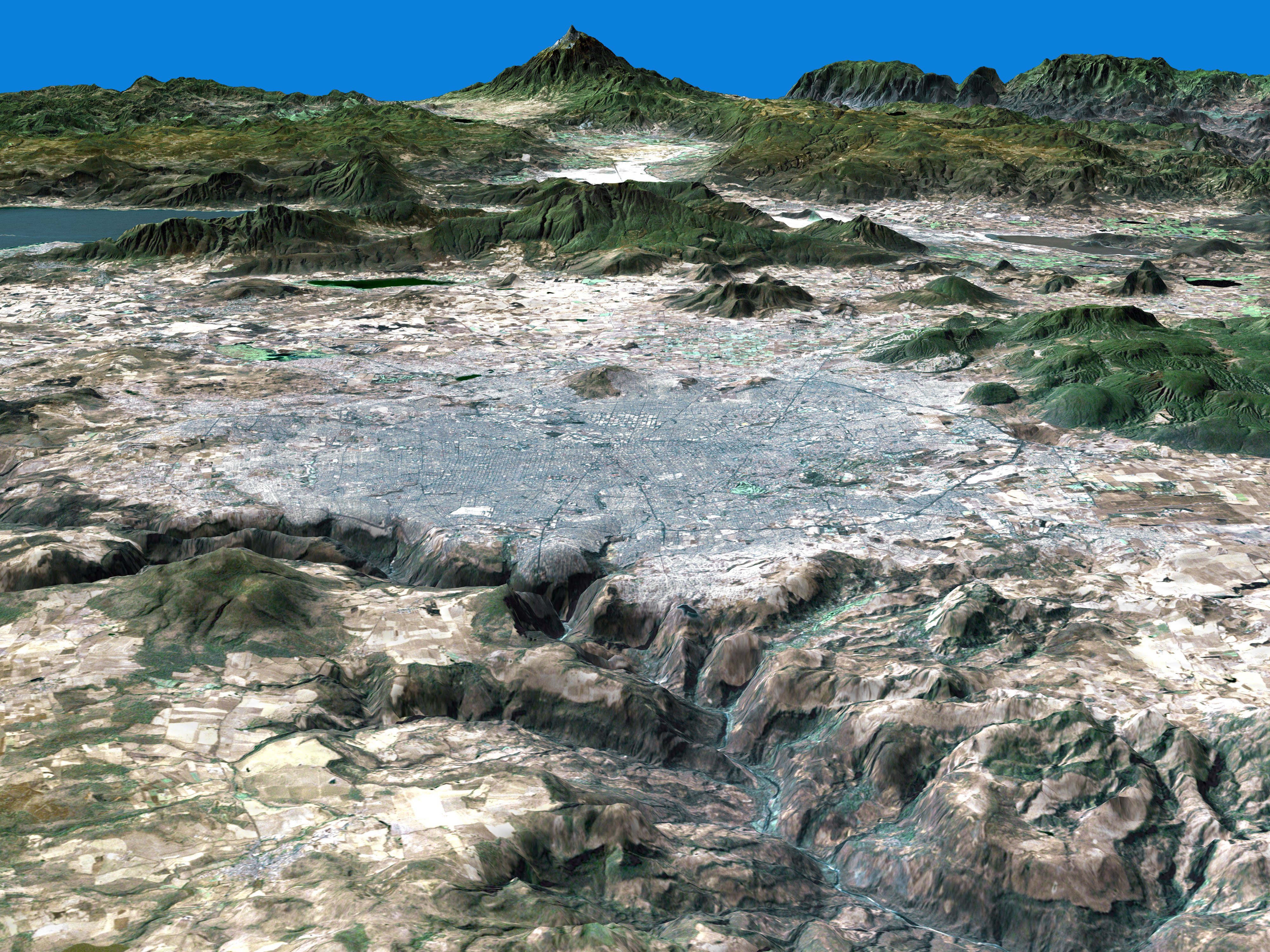
Guadalajara is nestled in a valley of the southern altiplano, or high plane, which averages 2,000 meters in elevation. The altiplano is the land between the Sierra Madre Occidental mountain range to the west and the Sierra Madre Oriental to the east. The high elevation of the city provides a warm, dry climate for the residents of Guadalajara. The rugged topography surrounding the city is evident in this 3-D perspective image. The large lake in the background is the Lago De Chapala and the dramatic peak is Nevado de Colima, Mexico’s seventh highest mountain.
This 3-D perspective image was created by draping Landsat 7 data over elevation information; the viewer is looking towards the south. The image is a combination of the red, green and near-infrared, and blue bands of Landsat 7’s Enhanced Thematic Mapper plus instrument. The Landsat image was acquired on January 27, 2002.
Image by Jesse Allen and Laura Rocchio. Landsat data provided by the Landsat Project Science Office.