Located near the east coast of Italy’s province of Sicily, Mount Etna is Europe’s most active volcano and is one of the world’s largest continental volcanoes, standing about 3,350 m (10,991 feet) tall. Mount Etna has a broad base (or shield) spanning roughly 60 by 40 km (36 by 24 miles) and reaching an altitude of about 2,900 m (9,500 feet). The remaining 400 m (1,200 feet) at its top is a stratovolcano made from several vents that have coalesced.
Most of the surface of Mount Etna is covered by historic lava flows dating back to eruptions as old as 300,000 years. Scientists believe Mount Etna started as a submarine volcano that gradually grew to stand above sea level on layer upon layer of solidified lava.
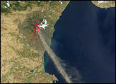
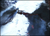
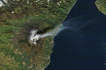
Among all the world’s volcanoes, Mount Etna has the longest recorded history of eruptions, dating back to 1500 B.C. Since then, the volcano has erupted about 200 times and has been very active in recent decades. In particular, 2001 was a busy year for Mount Etna, as there were 16 eruptive episodes by the time a new spate of activity began on July 13, 2001. That eruption was accompanied by earthquakes and the opening of at least five vents on the volcano that released thick lava flows and vast columns of steam and smoke. Officials were watching closely as the lava flowed to within 5 km (3 miles) of the town of Nicolosi (as of July 21).
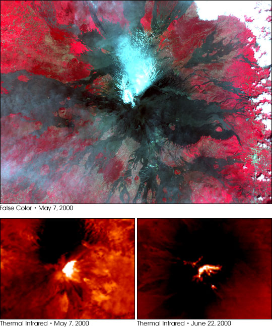
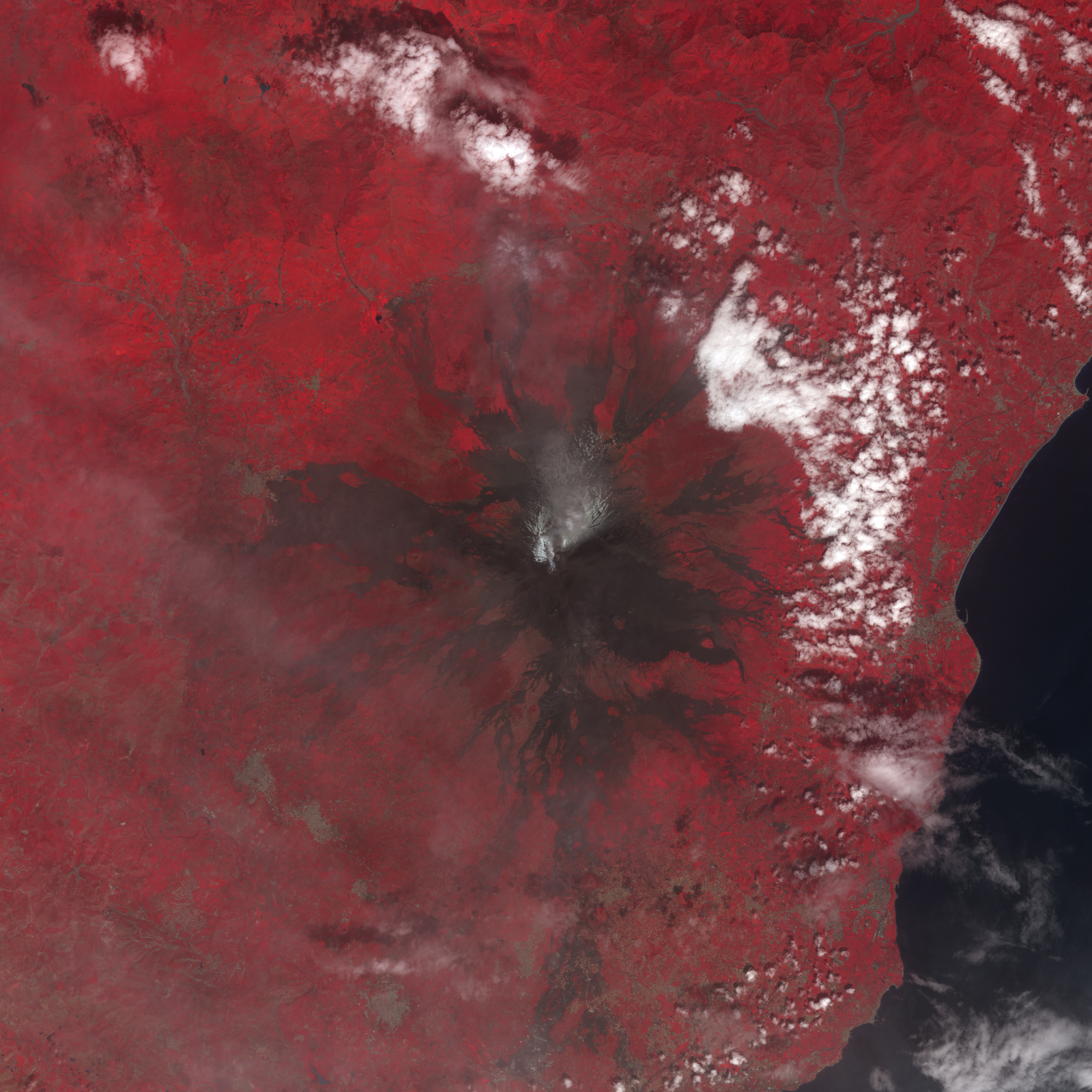
These perspective views of Mount Etna were acquired by the Advanced Spaceborne Thermal Emission and Reflection Radiometer (ASTER), flying aboard NASA’s Terra satellite. The top image is a false-color image, acquired May 7, 2000, and produced using a combination of ASTER’s visible and near-infrared channels. In that image, the blue-white pixels on the volcano’s north slope are snow. The dark brown and black pixels radiating out away from Etna’s caldera are exposed rock surfaces from previous lava flows. The deep red hues around the edges of the image indicate the presence of vegetation.
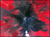
The bottom pair of images were acquired by ASTER on May 7 (left) and June 22, 2000 (right). They were produced using ASTER’s thermal infrared (heat) detector. The bright yellow-white pixels show the lava dome at the top of Mount Etna, as well as the locations of several vents, where heat is escaping.
Image courtesy NASA/GSFC/MITI/ERSDAC/JAROS, and U.S./Japan ASTER Science Team


