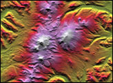
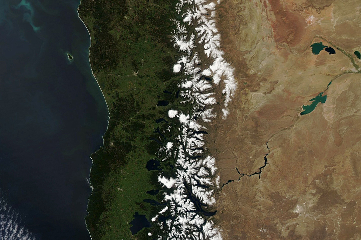
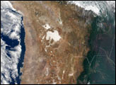
Boasting the highest mountain as well as the greatest expanse of low-lying wetlands in the Western Hemisphere, lower South America is a sight to behold at any altitude. This true color image of lower South America was acquired on March 27, 2000, by the Moderate-resolution Imaging Spectroradiometer (MODIS), flying aboard NASA’s Terra spacecraft. The Andes run all along the left-hand side of the image, starting out wide up top and narrowing as they move south. The white spine-like strip along the lower Andes is snow. Mount Aconcagua, the tallest mountain in the Western Hemisphere, is located in this section of the Andes.
To the west, the muddy green featureless areas in the image are the vast wetlands of Argentina and Paraguay. The largest lake in this region is Lake Mar Chiquita, which sits on the western edge of these wetlands. The two whitish tan patches between the lake and the Andes are the much smaller, snow covered Sierra de Cordoba mountains.
Further east, the Parana River can be seen running through the center of Argentina. The Uruguay River travels along the border between Uruguay and Argentina. Both rivers empty out into the Rio de La Plata, which is the large bay on the far eastern side of Argentina. The murky brown color of the bay is due to sediments dumped there by the rivers. Buenos Aires, the capital of Argentina, lies on the southern edge of the bay and is home to 40 percent of the country’s 47 million people.
Image courtesy MODIS Science Team