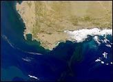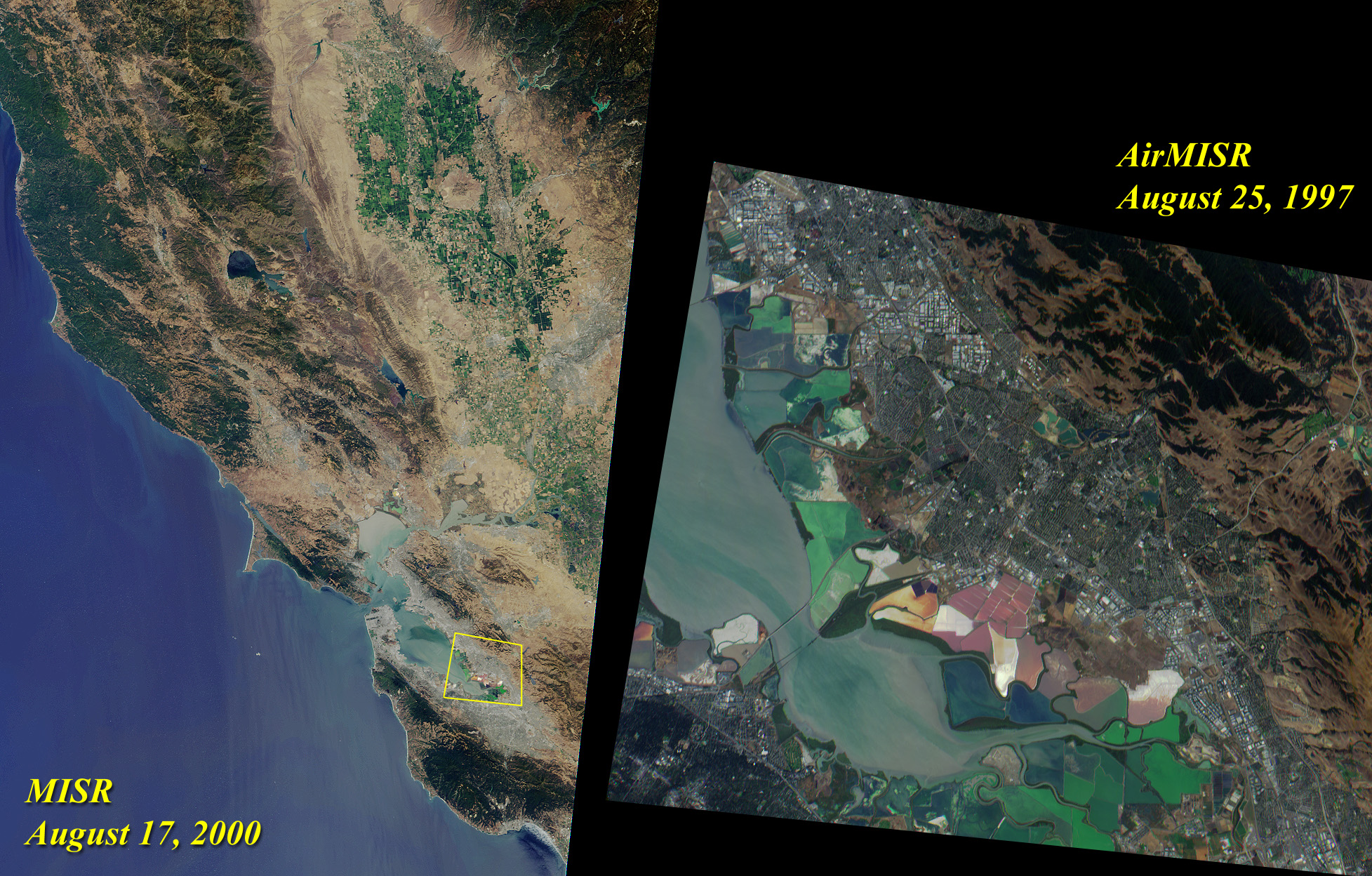
The left image of this pair was acquired by Multi-angle Imaging Spectroradiometer’s (MISR's) nadir camera on August 17, 2000. Toward the top, and nestled between the Coast Range and the Sierra Nevadas, are the green fields of the Sacramento Valley. The city of Sacramento is the grayish area near the right-hand side of the image. Further south, San Francisco and other cities of the Bay Area are visible.
On the right is a zoomed-in view of the area outlined by the yellow polygon. It highlights the southern end of San Francisco Bay, and was acquired by MISR’s airborne counterpart, AirMISR, during an engineering check-out flight on August 25, 1997. AirMISR flies aboard a NASA ER-2 high-altitude aircraft and contains a single camera that rotates to different view angles. When this image was acquired, the AirMISR camera was pointed 70 degrees forward of the vertical. Colorful tidal flats are visible in both the AirMISR and MISR imagery.
Image Courtesy NASA/GSFC/JPL, MISR and AirMISR Teams