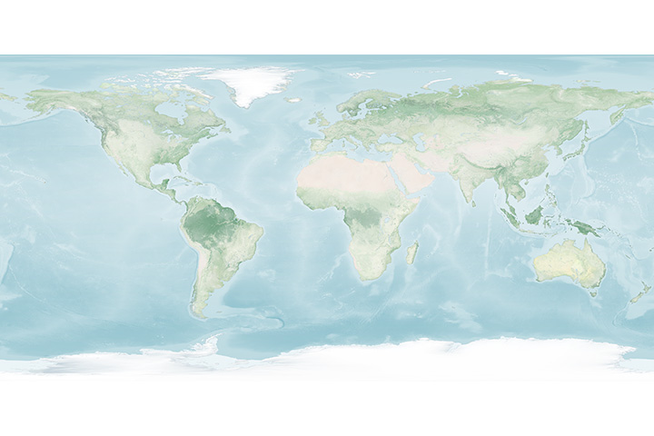
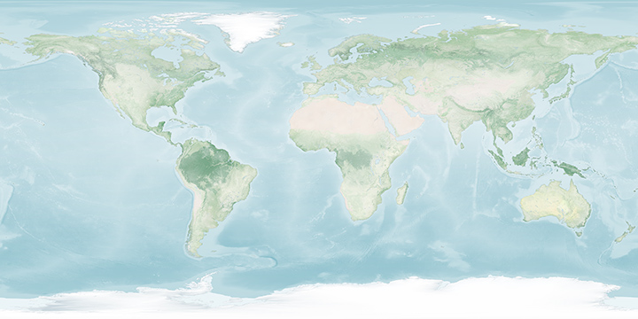
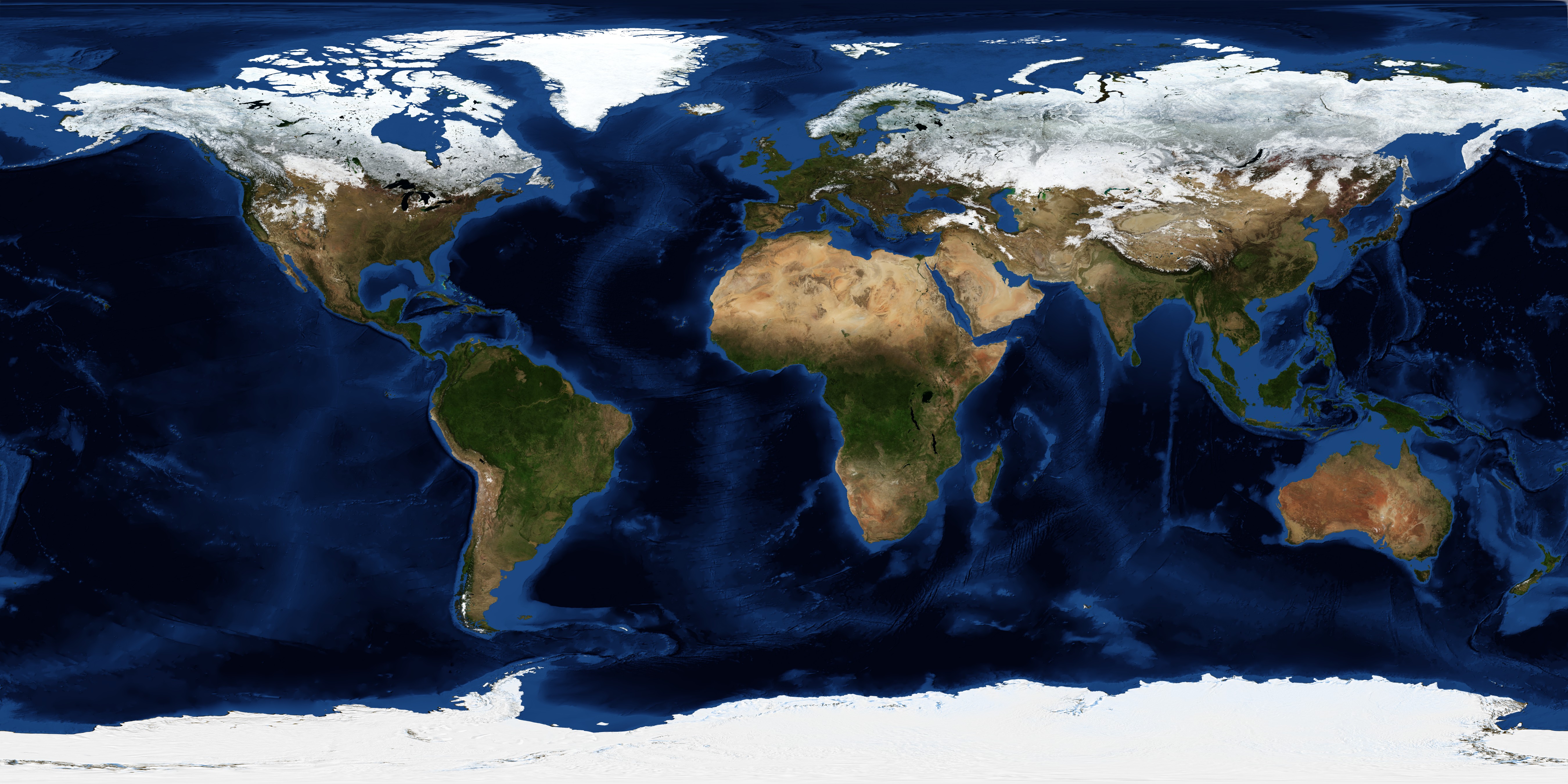
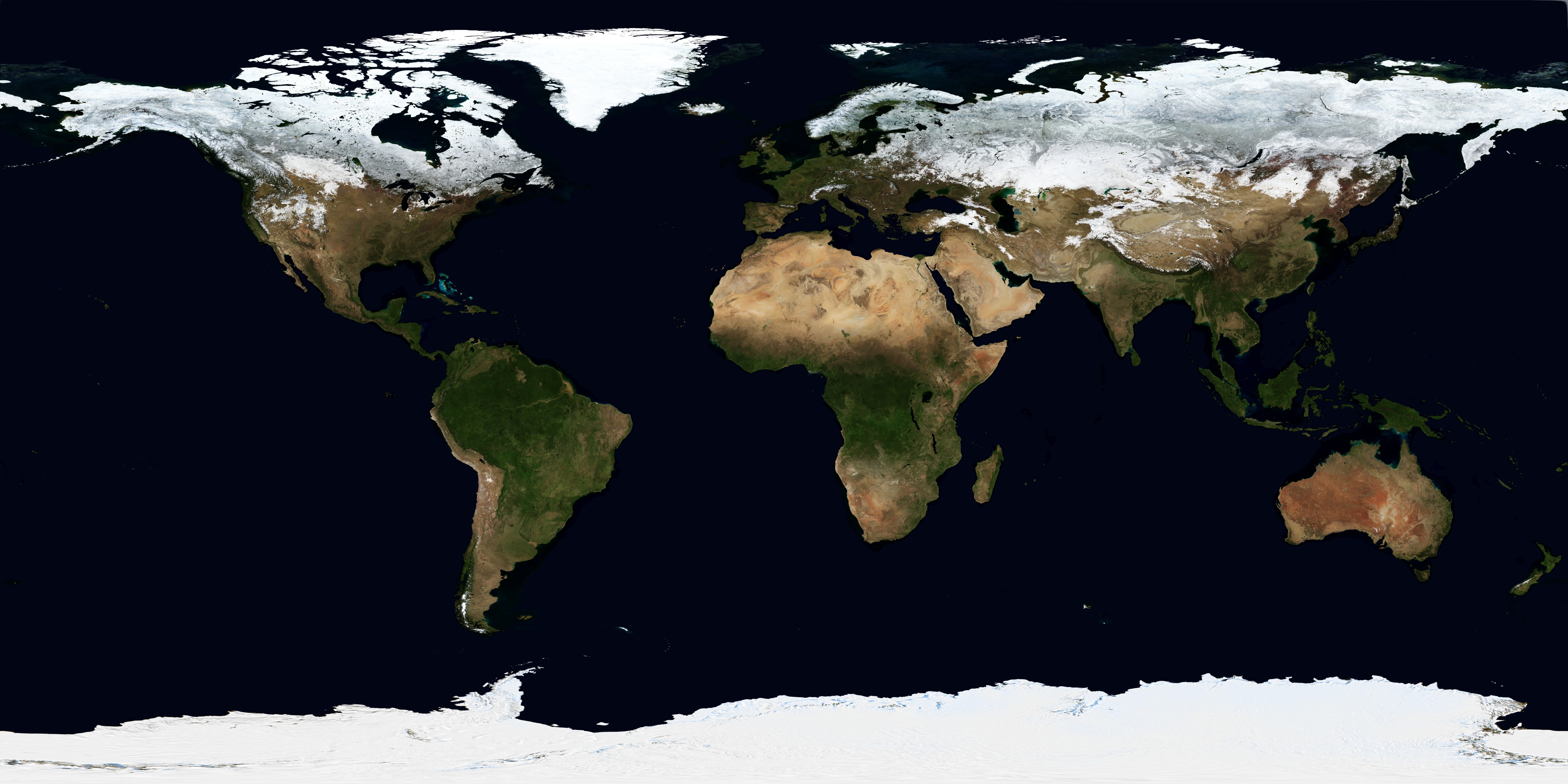
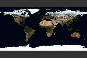
Explorer Base Map
Published September 1, 2020
The underlying base map for the Earth Observatory Explorer browse tool.
Related images:
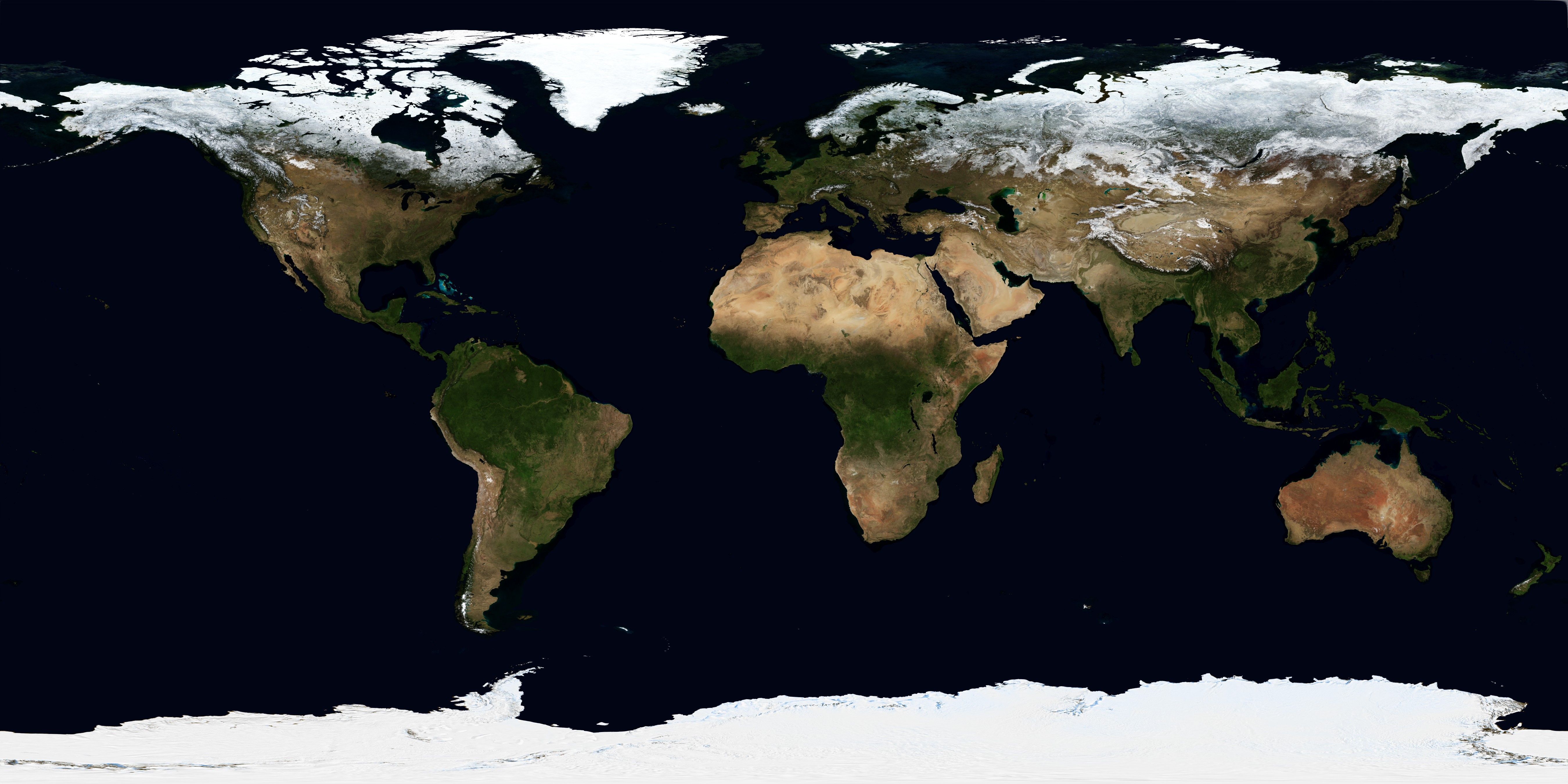
720 x 360
JPEG

3600 x 1800
6 MB - PNG
21600 x 10800
231 MB - GeoTIFF
182 MB - TGZ
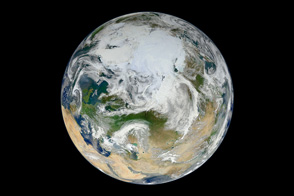
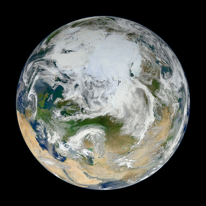
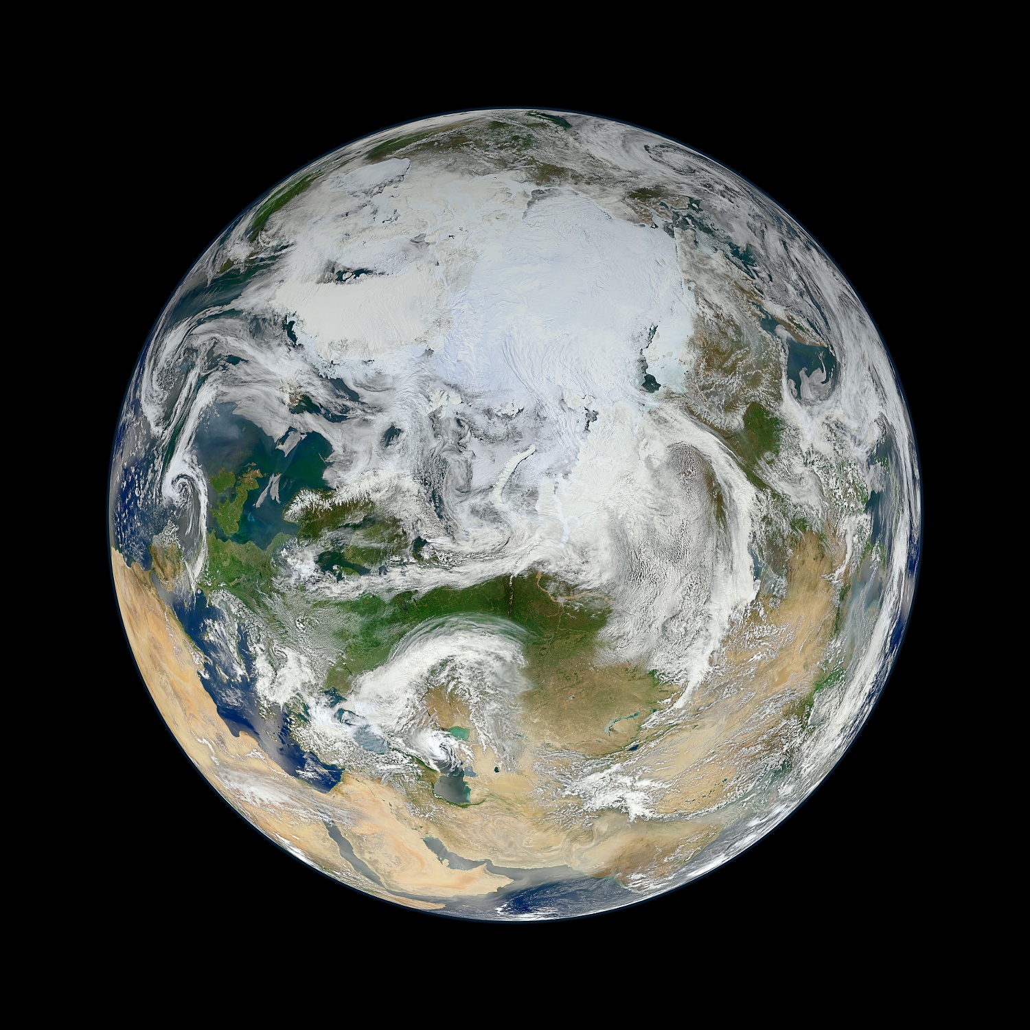
The View from the Top
Published June 22, 2012
A new composite image built from 15 satellite passes shows the Arctic and northern latitudes as you have never seen them before.
Related images:
720 x 720
JPEG
1500 x 1500
689 KB - JPEG
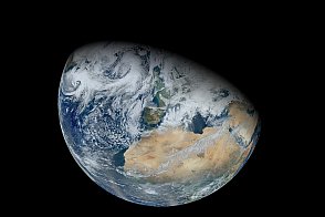
North Africa and Europe from Suomi NPP
Published June 19, 2012
Over a period of six orbits on on February 3, 2012, the recently launched Suomi NPP satellite provided the VIIRS instrument enough time to gather the pixels for this synthesized view of Earth showing North Africa and southwestern Europe.
Related images:
720 x 480
JPEG
12000 x 12000
20 MB - JPEG
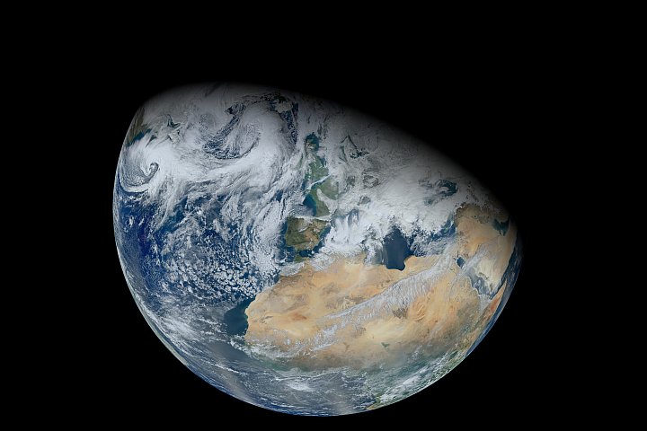
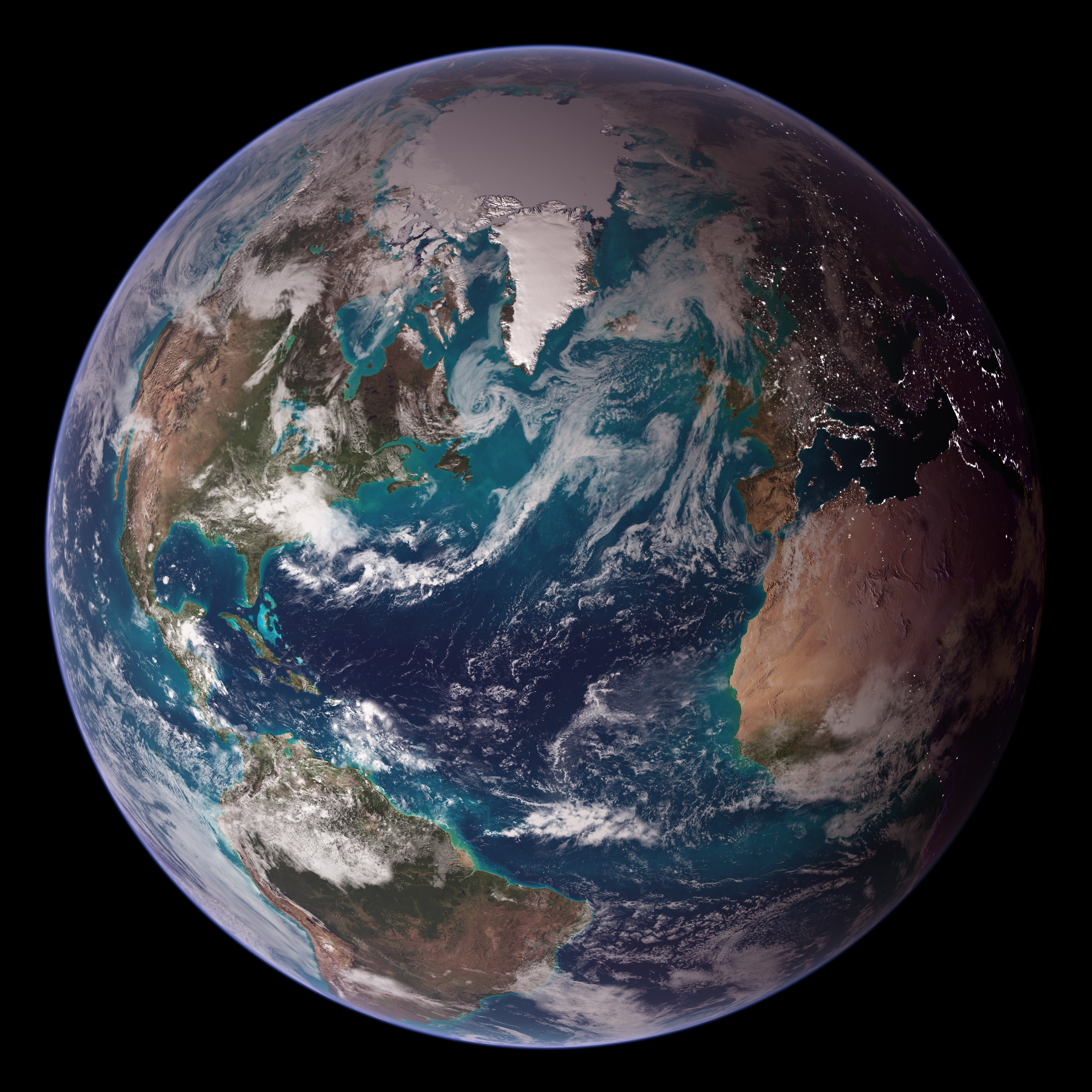
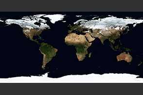
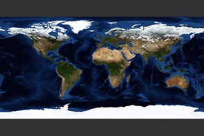
Twin Blue Marbles
Published October 9, 2007
This view of Earth from space is a fusion of science and art, drawing on data from multiple satellite missions and the talents of NASA scientists and graphic artists.
Related images:

3718 x 3718
3 MB - JPEG
3718 x 3718
3 MB - JPEG
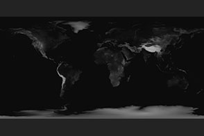
Topography
Published July 21, 2005
Land topography is a digital image of the three-dimensional structure of the Earth's surface. Shading indicates changes in slope or elevation.
Related images:
21600 x 10800
18 MB - PNG
10800 x 10800
15 MB - GeoTIFF
10800 x 10800
4 MB - GeoTIFF
10800 x 10800
14 MB - GeoTIFF
10800 x 10800
13 MB - GeoTIFF
10800 x 10800
26 MB - GeoTIFF
10800 x 10800
11 MB - GeoTIFF
10800 x 10800
23 MB - GeoTIFF
10800 x 10800
10 MB Bytes - GeoTIFF
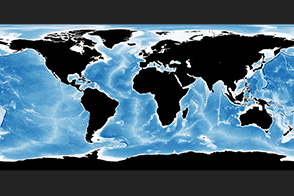
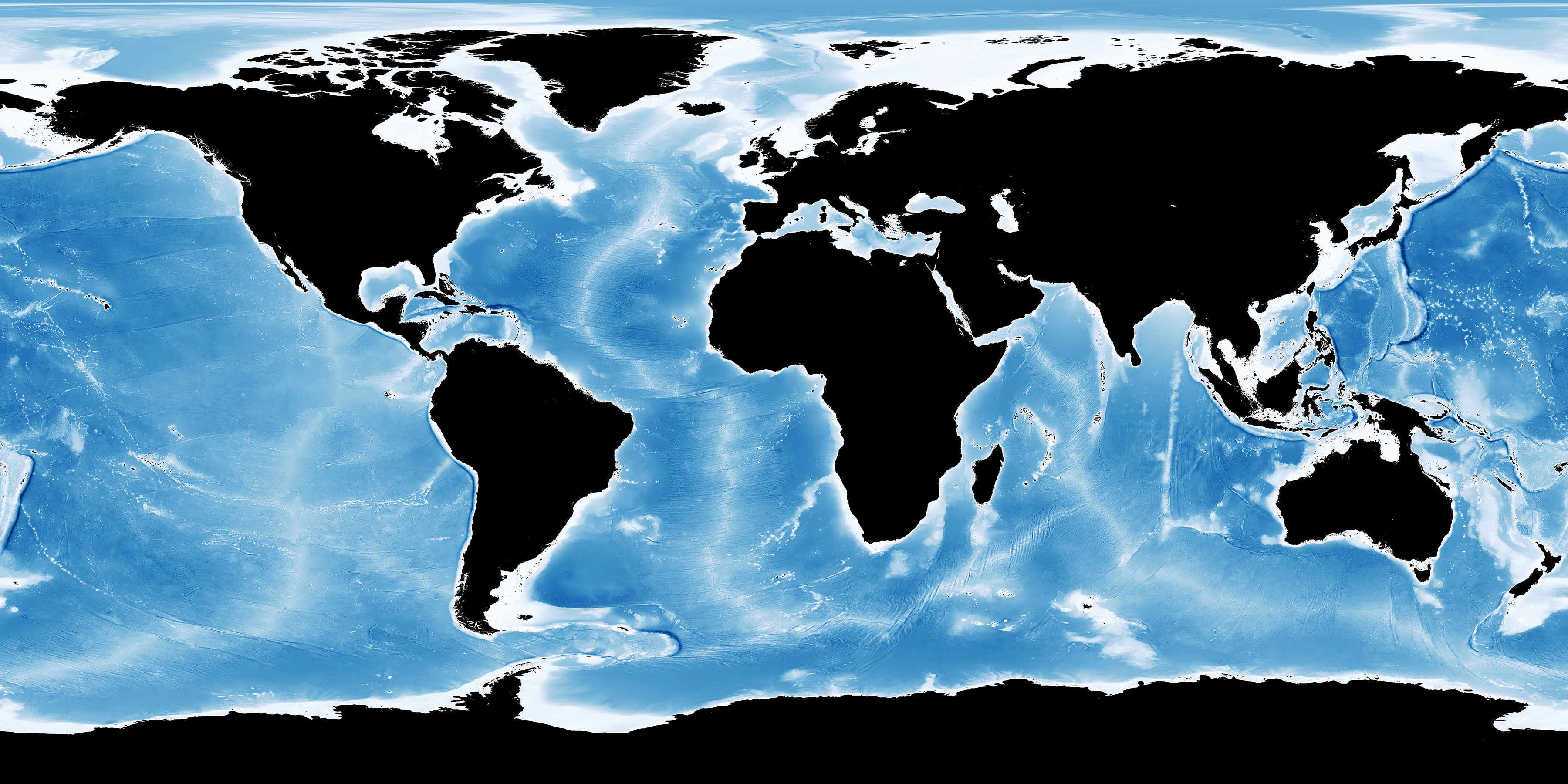
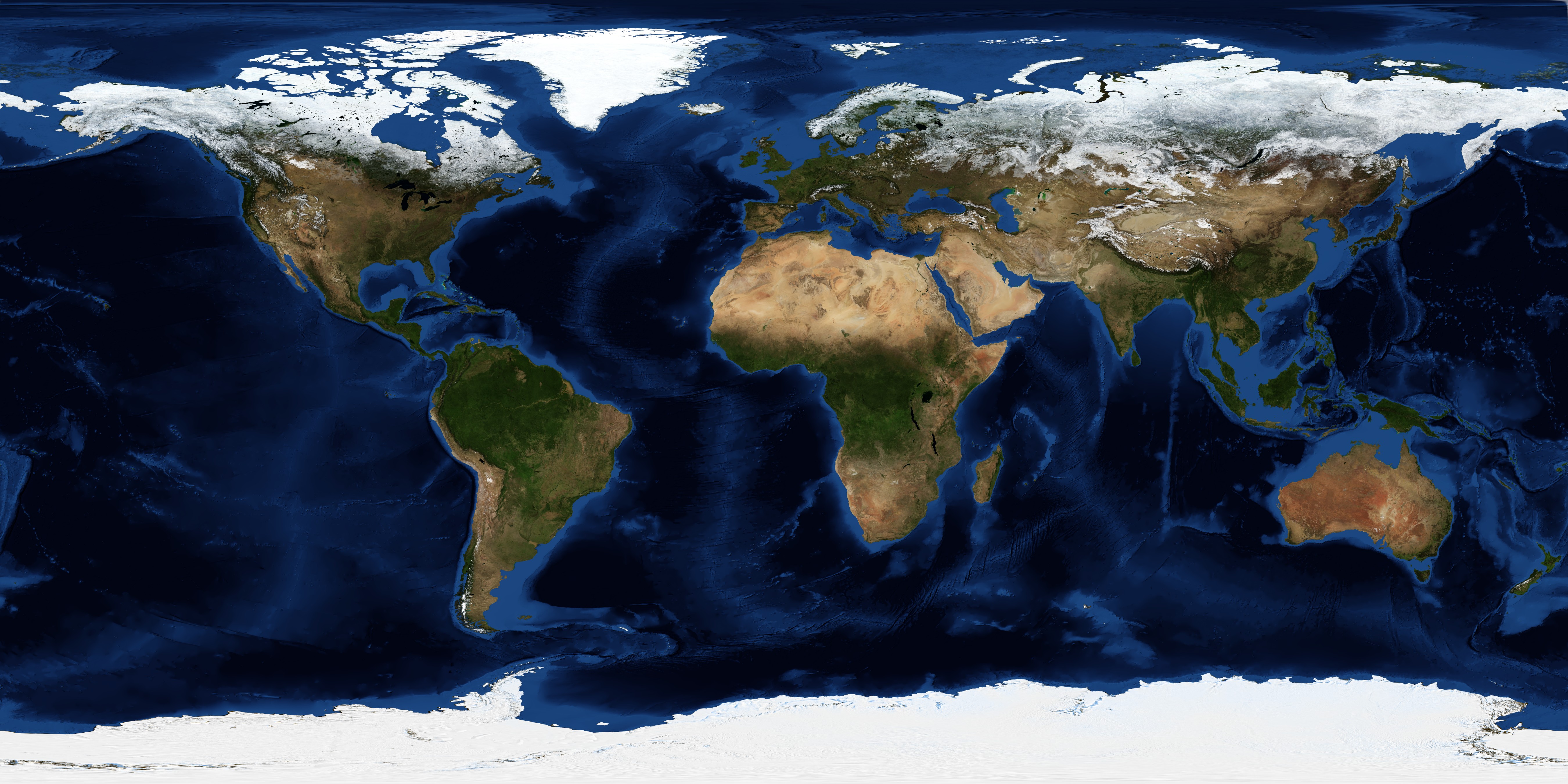
Bathymetry
Published July 21, 2005
Related images:
JPEG
3600 x 1800
2 MB - JPEG
21600 x 10800
33 MB - PNG
10800 x 10800
31 MB - GeoTIFF
10800 x 10800
42 MB - GeoTIFF
10800 x 10800
33 MB - GeoTIFF
10800 x 10800
33 MB - GeoTIFF
10800 x 10800
13 MB - GeoTIFF
10800 x 10800
35 MB - GeoTIFF
10800 x 10800
30 MB - GeoTIFF
10800 x 10800
36 MB - GeoTIFF
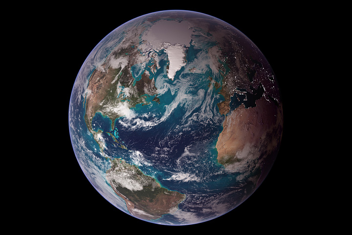
December, Blue Marble Next Generation w/ Topography and Bathymetry
Published December 1, 2004
Related images:

1 MB Bytes - PDF
5400 x 2700
2 MB - JPEG
5400 x 2700
14 MB - PNG
21600 x 10800
26 MB - JPEG
21600 x 10800
181 MB - PNG
21600 x 21600
23 MB - JPEG
21600 x 21600
274 MB - PNG
21600 x 21600
4 MB - JPEG
21600 x 21600
102 MB Bytes - PNG
21600 x 21600
21 MB - JPEG
December, Blue Marble Next Generation
Published December 1, 2004
Related images:
1 MB Bytes - PDF
5400 x 2700
2 MB - JPEG
5400 x 2700
9 MB - PNG
21600 x 10800
21 MB - JPEG
21600 x 10800
117 MB - PNG
21600 x 21600
22 MB - JPEG
21600 x 21600
177 MB - PNG

21600 x 21600
4 MB - JPEG
21600 x 21600
13 MB - PNG
21600 x 21600
20 MB - JPEG
December, Blue Marble Next Generation w/ Topography
Published December 1, 2004
Related images:
1 MB Bytes - PDF

5400 x 2700
2 MB - JPEG
5400 x 2700
9 MB - PNG
21600 x 10800
21 MB - JPEG
21600 x 10800
123 MB - PNG
21600 x 21600
24 MB - JPEG
21600 x 21600
198 MB - PNG
21600 x 21600
4 MB - JPEG
21600 x 21600
25 MB - PNG
21600 x 21600
21 MB - JPEG
November, Blue Marble Next Generation w/ Topography and Bathymetry
Published November 1, 2004
Related images:
1 MB Bytes - PDF
5400 x 2700
2 MB - JPEG
5400 x 2700
14 MB - PNG
21600 x 10800
26 MB - JPEG
21600 x 10800
181 MB - PNG
21600 x 21600
23 MB - JPEG
21600 x 21600
276 MB - PNG
21600 x 21600
5 MB - JPEG
21600 x 21600
102 MB Bytes - PNG
21600 x 21600
21 MB - JPEG

November, Blue Marble Next Generation
Published November 1, 2004
Related images:
1 MB Bytes - PDF

5400 x 2700
2 MB - JPEG
5400 x 2700
9 MB - PNG
21600 x 10800
21 MB - JPEG
21600 x 10800
118 MB - PNG
21600 x 21600
22 MB - JPEG
21600 x 21600
179 MB - PNG
21600 x 21600
4 MB - JPEG
21600 x 21600
14 MB - PNG
21600 x 21600
20 MB - JPEG
November, Blue Marble Next Generation w/ Topography
Published November 1, 2004
Related images:
1 MB Bytes - PDF
5400 x 2700
2 MB - JPEG
5400 x 2700
9 MB - PNG
21600 x 10800
21 MB - JPEG
21600 x 10800
123 MB - PNG
21600 x 21600
24 MB - JPEG
21600 x 21600
4 MB - JPEG
21600 x 21600
25 MB - PNG
21600 x 21600
201 MB - PNG
21600 x 21600
21 MB - JPEG